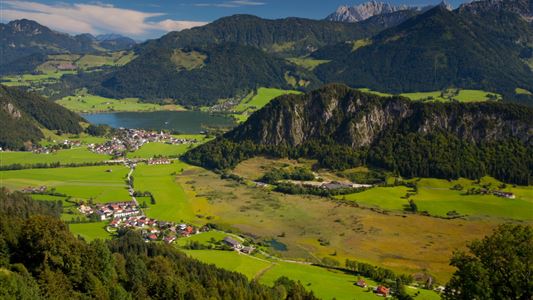
Hiking

Medium

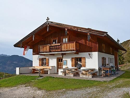
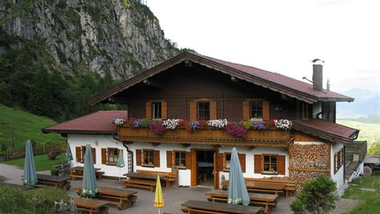
Stubenalm

Hiking tour

7,80 km

04:30 h

935 hm

135 hm

1469 m

Best Time of Year

Jan

Feb

Mar

Apr

May

Jun

Jul

Aug

Sep

Oct

Nov

Dec

Information

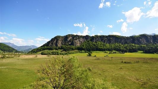
From Schwendt in the direction of St. Johann in Tirol turn off to the left side about 200 m before Gasthaus Hohenkendl before a bridge left into the meadows. Here are some parking areas. You walk along the meadow path, first at the junction at Putzenhof left and walk along

Read more ...

Recommended Equipment

Breathable outdoor clothing suitable for the weather, sturdy footwear, food (snacks, drinks),
sun protection (sunglasses, sun cream & cap), rain protection, cash; guest card if using the bus

Features & Characteristics

Endurance

Skill Level

Starting Point

Hohenkendel Schwendt

End Point

Schnappen

Map & Elevation Profile

Arrival

By car to Schwendt to the district Kohlental and continue to the beginning of Griesenau.

Similar Tour Suggestions

Big Griesbach Loop

Medium

Hiking

Hiking tour

Starting Point: Erpfendorf - Parking lot Griesbachklamm

End Point: Erpfendorf - Parking lot Griesbachklamm

6,10 km

02:10 h

223 hm

862 m

Achendammrundweg - Nr. 14

Easy

Hiking

Hiking tour

Starting Point: Tourist Office Kössen

End Point: Tourist Office Kössen

4,20 km

01:30 h

20 hm

597 m

Rettenschöss - Wildbichlalm

Medium

Hiking

Winter walking

Hiking tour

+1

Starting Point: Parking lot Wildbichl

End Point: Wildbichlalm

7,00 km

02:30 h

370 hm

155 hm

1018 m

Marienweg

Medium

Hiking

Hiking tour

Thematic route

+1

Starting Point: Niederndorf - Sebi

End Point: Reit im Winkl oder Kirchdorf

61,40 km

2018 hm

2031 hm

Schwendt-E-Werk-Schwendt - Nr. 65, 56, 12, 61

Easy

Hiking

Hiking tour

Starting Point: Tourist Office Schwendt

End Point: Tourist Office Schwendt

8,10 km

02:00 h

181 hm

Hochschanz / Kalvarienberg - Kössen - Nr. 21,2

Easy

Hiking

Starting Point: 92

End Point: Pfarrkirche Walchsee

2,40 km

02:30 h

96 hm

92 m

Glasalm

Easy

Hiking

Hiking tour

Starting Point: Staffenbrücke Kössen

End Point: Staffenbrücke Kössen

7,50 km

02:00 h

260 hm

279 hm

806 m

Blaik - Peternhof - Kössen

Medium

Hiking

Hiking tour

Starting Point: Tourist Office Kössen

End Point: Tourist Office Kössen

8,00 km

02:30 h

240 hm

761 m