Hiking

Easy

Rettenschöss Feistenau - in Richtung Wandberg

Hiking tour

Family-friendly

9,00 km

03:30 h

353 hm

1326 m

Best Time of Year

Jan

Feb

Mar

Apr

May

Jun

Jul

Aug

Sep

Oct

Nov

Dec

Information

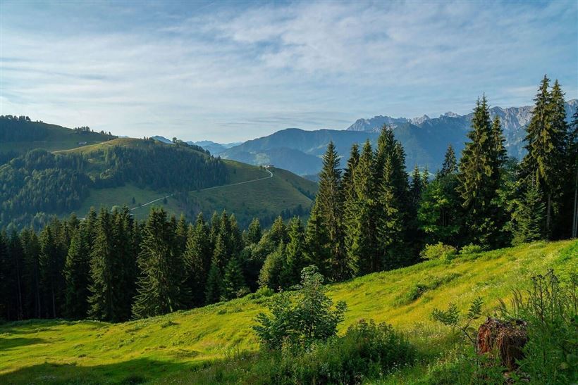
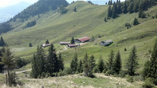
200m after the Gasthaus Schöne Aussicht you will find a barrier that you cross. Follow the paved road through the cool shady forest in the direction of the Rettenbachalmen. After the forest the asphalt changes into a gravel road and the alpine area begins. Along the Rettenbachalmen you can enjoy

Read more ...

Recommended Equipment

Breathable outdoor clothing suitable for the weather, sturdy footwear, food (snacks, drinks),
sun protection (sunglasses, sun cream & cap), rain protection, cash; guest card if using the bus

Features & Characteristics

Starting Point

Gasthaus Schöne Aussicht in Rettenschöss

End Point

Gasthaus Schöne Aussicht in Rettenschöss

Family-friendly

Yes

Map & Elevation Profile

Arrival

It is recommended to arrive via the B172. From Walchsee in the direction of Niederndorf, in the district Primau the community Rettenschöss turn and follow the local road about 5 kilometers to the public parking Feistenau.

Similar Tour Suggestions

Naringalm

Medium

Hiking

Hiking tour

12,40 km

04:00 h

591 hm

592 hm

1178 m

Kössen - Bichlach - Walchsee

Easy

Hiking

Hiking tour

Starting Point: Tourist Office Kössen

End Point: Tourist Office Walchsee

10,00 km

02:30 h

184 hm

112 hm

699 m

Blaik - Peternhof - Kössen

Medium

Hiking

Hiking tour

Starting Point: Tourist Office Kössen

End Point: Tourist Office Kössen

8,00 km

02:30 h

240 hm

761 m

Riederalm - Nr. 47

Easy

Hiking

Winter walking

Hiking tour

Starting Point: Tourist Office Walchsee

End Point: Riederalm

3,00 km

01:00 h

181 hm

850 m

Brennkopf

Medium

Hiking

Hiking tour

Starting Point: Schwemmturm Walchsee

End Point: Schwemmturm Walchsee

8,60 km

04:00 h

738 hm

1330 m

Lippenalm

Medium

Hiking

Hiking tour

Starting Point: Centre Walchsee

End Point: Lippenalm

4,40 km

01:30 h

310 hm

939 m

Niederhausertal - Lackalm

Medium

Hiking

Hiking tour

Starting Point: Fire Station Schwendt

End Point: Lackalm

9,50 km

06:00 h

884 hm

260 hm

1331 m

Kaiserbachtal - Feldberg - Stripsenjoch

Medium

Hiking

Hiking tour

Starting Point: Kirchdorf - Parking Kaiserbachtal

End Point: Kirchdorf - Parking Kaiserbachtal

21,00 km

09:00 h

1170 hm

1180 hm

1800 m