Hiking

Easy

Schwendt - Bichlach - Nr. 61a

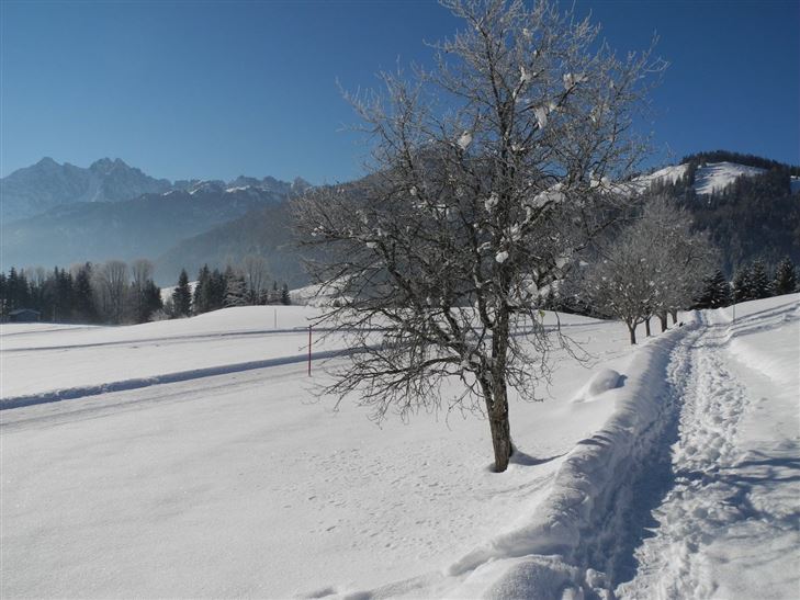
Winter walking

Hiking tour

+1

3,50 km

01:00 h

30 hm

710 m

Best Time of Year

Jan

Feb

Mar

Apr

May

Jun

Jul

Aug

Sep

Oct

Nov

Dec

Information

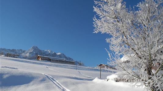
Start in Schwendt, turn left past the Gasthof Mairwirt and downhill via the Moarweg trail to Mühlau. After the bridge, walk uphill to the Aufschnaithof. Then turning right, the route follows a gentle downhill section past several farms to Bichlach and the Hotel Riedlwirt.


Recommended Equipment

Breathable outdoor clothing suitable for the weather, sturdy footwear, food (snacks, drinks),
sun protection (sunglasses, sun cream & cap), rain protection, cash; guest card if using the bus

Features & Characteristics

Starting Point

Schwendt Village Center

End Point

Riedlwirt

Family-friendly

Yes

Map & Elevation Profile

Arrival

By car to the centre of Schwendt

Similar Tour Suggestions

Peternhof Circuit

Medium

Hiking

Winter walking

Starting Point: Centre Kössen

End Point: Centre Kössen

7,00 km

03:00 h

220 hm

811 m

Aschinger Alm toboggan run

Easy

Sledding

Tobogganing

3,14 km

315 hm

Closed
Haraualm

Medium

Hiking

Winter walking

Hiking tour

+1

Starting Point: Hallbruckhof

End Point: Haraualm

3,30 km

01:30 h

330 hm

1004 m

Scheibenkogel

Medium

Hiking

Hiking tour

Starting Point: Tourist Office Schwendt

End Point: Mountaintop Scheibenkogel

6,80 km

06:30 h

959 hm

1579 m

Rettenschöss Feistenau - in Richtung Wandberg

Easy

Hiking

Hiking tour

Starting Point: Gasthaus Schöne Aussicht in Rettenschöss

End Point: Gasthaus Schöne Aussicht in Rettenschöss

9,00 km

03:30 h

353 hm

1326 m

Hohe Brücke – Embach – Hohe Brücke

Medium

Hiking

Winter walking

Starting Point: Hohe Brücke

End Point: Hohe Brücke

4,60 km

01:30 h

150 hm

839 m

Straubinger Haus / Eggenalm - Nr. 27

Hard

Hiking

Hiking tour

Starting Point: Hagerbrücke

End Point: Straubingerhaus

18,00 km

07:00 h

1230 hm

1740 m

Around  Kössen

Easy

Hiking

Hiking tour

Starting Point: Tourist Office Kössen

End Point: Tourist Office Kössen

9,40 km

02:30 h

81 hm

82 hm

647 m