Hiking

Medium

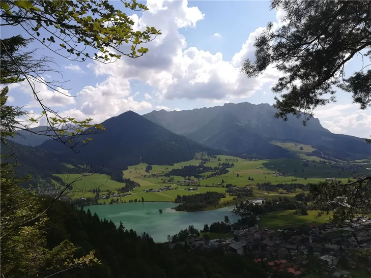
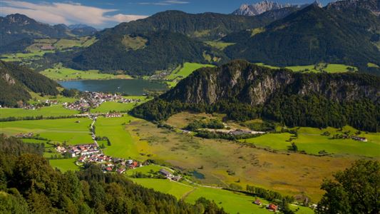
Ottenalm - Harauspitze

Hiking tour

6,50 km

04:00 h

475 hm

445 hm

1115 m

Best Time of Year

Jan

Feb

Mar

Apr

May

Jun

Jul

Aug

Sep

Oct

Nov

Dec

Information

Starting point is at the football field parking lot.
Take the forest road in the direction of Ottenalm/Riederalm, then turn right at the junction and pass the metal gate (Eisengatter).
Continue first on a wide forest road, then on a steeper forest hiking trail up to the Kugelwand.
A short detour to the

Read more ...

Recommended Equipment

Breathable outdoor clothing suitable for the weather, sturdy footwear, food (snacks, drinks),
sun protection (sunglasses, sun cream & cap), rain protection, cash; guest card if using the bus

Features & Characteristics

Endurance

Skill Level

Huts & Alpine Pastures

Starting Point

Football field parking lot

End Point

Football field parking lot

Map & Elevation Profile

Arrival

By car to Walchsee to the football field

Similar Tour Suggestions

Big Griesbach Loop

Medium

Hiking

Hiking tour

Starting Point: Erpfendorf - Parking lot Griesbachklamm

End Point: Erpfendorf - Parking lot Griesbachklamm

6,10 km

02:10 h

223 hm

862 m

Schwendt - Kohlalm - Nr. 74

Medium

Hiking

Hiking tour

Starting Point: Parking lot Kohlalm

End Point: Kohlalm

5,40 km

02:00 h

590 hm

1255 m

Walchsee - Ottenalm - Edernalm - Kössen - Nr. 47, 25, 24

Easy

Hiking

Hiking tour

Starting Point: Tourist Office Walchsee

End Point: Tourist Office Kössen

8,70 km

03:00 h

401 hm

466 hm

1002 m

Rettenschöss Feistenau - in Richtung Wandberg - Nr. 47A, 14

Easy

Hiking

Hiking tour

Starting Point: Gasthaus Schöne Aussicht in Rettenschöss

End Point: Gasthaus Schöne Aussicht in Rettenschöss

9,00 km

03:30 h

353 hm

1326 m

Schwarzwald - Taubensee - Nr. 22

Medium

Hiking

Hiking tour

Starting Point: Tourist Office Kössen

End Point: Tourist Office Kössen

11,20 km

03:30 h

630 hm

1176 m

Schmugglerweg Klobenstein Nr. 15

Medium

Hiking

Hiking tour

+1

Starting Point: Tourist Office Roundabout Kössen

End Point: Klobenstein

4,10 km

03:00 h

143 hm

658 m

Walchsee - Ottenalm - Nr. 47

Easy

Hiking

Hiking tour

Starting Point: Tourist Office Walchsee

End Point: Ottenalm

3,50 km

01:30 h

309 hm

950 m

Lucknerhof - Nr 62

Medium

Hiking

Winter walking

Hiking tour

Starting Point: Sports field Kössen

End Point: Sports field Kössen

9,80 km

03:00 h

292 hm

175 hm

720 m