Hiking

Easy

Schwendt - Kohlental

Winter walking

Family-friendly

8,50 km

03:00 h

87 hm

Information

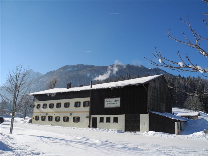
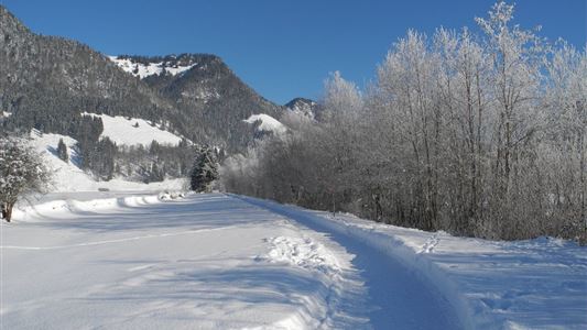
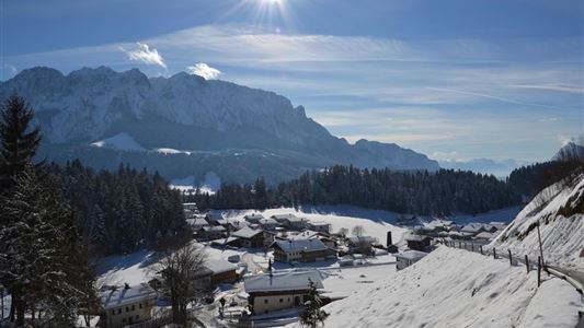
Start in Schwendt, turn left past the Gasthof Mairwirt then uphill along the Moarweg trail to Mühlau. After the bridge, walk uphill to the Aufschnaithof. Turning left, the route then leads past several farms via the Bichlachweg trail to the main road. Then walk south parallel to the cross-country trail

Read more ...

Features & Characteristics

Starting Point

Schwendt

End Point

Hohenkendl

Family-friendly

Yes

Map & Elevation Profile

Similar Tour Suggestions

Rettenschöss - Flecken

Easy

Hiking

Winter walking

Starting Point: Rettenschöss

End Point: Flecken

1,70 km

01:00 h

250 hm

923 m

Peternhof Circuit

Medium

Hiking

Winter walking

Starting Point: Dorfzentrum Kössen

End Point: Dorfzentrum Kössen

7,00 km

03:00 h

220 hm

811 m

Walchsee - Riederalm - Ottenalm

Medium

Hiking

Winter walking

Starting Point: Infobüro Walchsee

End Point: Ottenalm

3,70 km

01:30 h

300 hm

953 m

Mühlbergalm to the Taubensee

Medium

Hiking

Winter walking

Starting Point: Dorfzentrum Walchsee

End Point: Taubenseehütte

5,30 km

04:00 h

620 hm

1172 m

Schwendt Lucknerhof

Medium

Hiking

Winter walking

Starting Point: Schwendt

End Point: Tankstelle

5,20 km

02:00 h

100 hm

Riederalm

Easy

Hiking

Winter walking

Hiking tour

Starting Point: Dorfzentrum Walchsee

End Point: Riederalm

3,00 km

01:00 h

181 hm

850 m

Walchsee - Heuberg

Medium

Hiking

Snowshoe hiking

Starting Point: Parkplatz Hochberg

End Point: Heuberg

7,50 km

05:00 h

820 hm

1565 m

Walchsee - Wandberghütte

Medium

Hiking

Snowshoe hiking

Starting Point: Moarhof

End Point: Wandberghütte

7,60 km

03:30 h

750 hm

352 hm

1367 m