Hiking

Easy

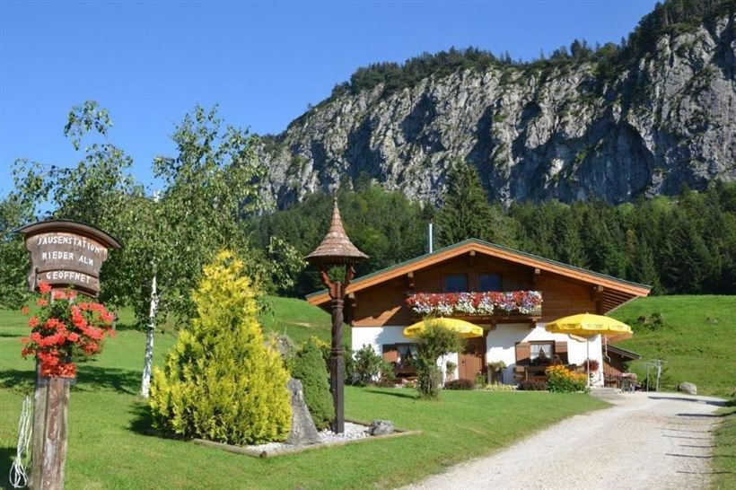
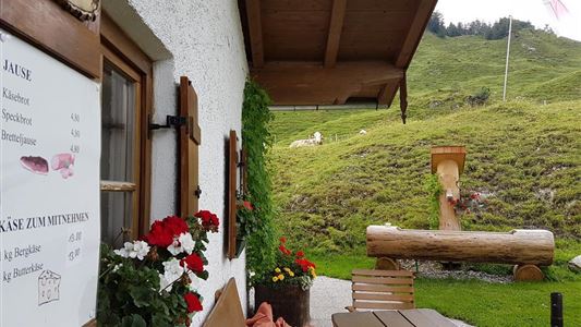
Riederalm - Nr. 47

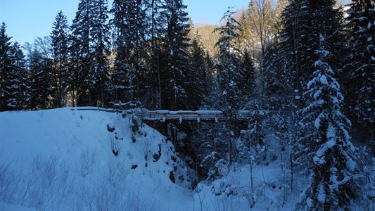
Winter walking

Hiking tour

+1

3,00 km

01:00 h

181 hm

850 m

Best Time of Year

Jan

Feb

Mar

Apr

May

Jun

Jul

Aug

Sep

Oct

Nov

Dec

Information

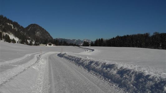
From the tourist office towards Hotel Das Walchsee. There turn left, past the mini golf course and the Appartementhouse Loder, along the Hausbergstraße to parking lot soccer field. Then turn right about 2.5 km through the forest slightly uphill to the Riederalm.
Also available as a toboggan run at your own

Read more ...

Recommended Equipment

Breathable outdoor clothing suitable for the weather, sturdy footwear, food (snacks, drinks),
sun protection (sunglasses, sun cream & cap), rain protection, cash; guest card if using the bus

Features & Characteristics

Starting Point

Tourist Office Walchsee

End Point

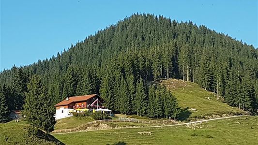
Riederalm

Family-friendly

Yes

Map & Elevation Profile

Arrival

By car in the village centre of Walchsee turn into Hausbergstraße and drive to the football field.

Similar Tour Suggestions

Schwarzwald - Taubensee

Medium

Hiking

Hiking tour

Starting Point: Tourist Office Kössen

End Point: Tourist Office Kössen

11,20 km

03:30 h

630 hm

1176 m

Premium hike Quellenweg Schwendt - Nr. 61, 64

Hiking

Hiking tour

+1

Starting Point: Parking lot near the Kaiserwinkl fish ponds

End Point: Parking Lot Dankl, Kohlental, Schwendt

3,10 km

01:00 h

21 hm

14 hm

675 m

Schwemmrunde

Easy

Hiking

Hiking tour

Starting Point: Tourist Office Walchsee

End Point: Tourist Office Walchsee

6,50 km

01:30 h

50 hm

Schwendt Lucknerhof

Medium

Hiking

Winter walking

Starting Point: Schwendt

End Point: Schwendt

5,20 km

02:00 h

100 hm

Hochalm - Heuberg

Medium

Hiking

Hiking tour

Starting Point: Parking lot Hochberg

End Point: Parking lot Hochberg

15,80 km

06:30 h

1252 hm

1247 hm

1603 m

Taubensee

Medium

Hiking

Snowshoe hiking

Starting Point: Schaffler Parking lot

End Point: Taubenseehütte

4,00 km

03:30 h

350 hm

1166 m

Kössen - Unterberg - Lackalm - Nr. 26, 70

Hard

Hiking

Hiking tour

Starting Point: Unterberg Valleystation

End Point: Lackalm

17,60 km

07:00 h

1325 hm

1336 hm

1749 m

Edernalm - Karalm

Medium

Hiking

Hiking tour

Starting Point: Parkplatz Steinbauer Kössen

End Point: Karalm

7,40 km

03:00 h

951 hm

1301 m