Hiking

Medium

Schwendt - Kohlalm

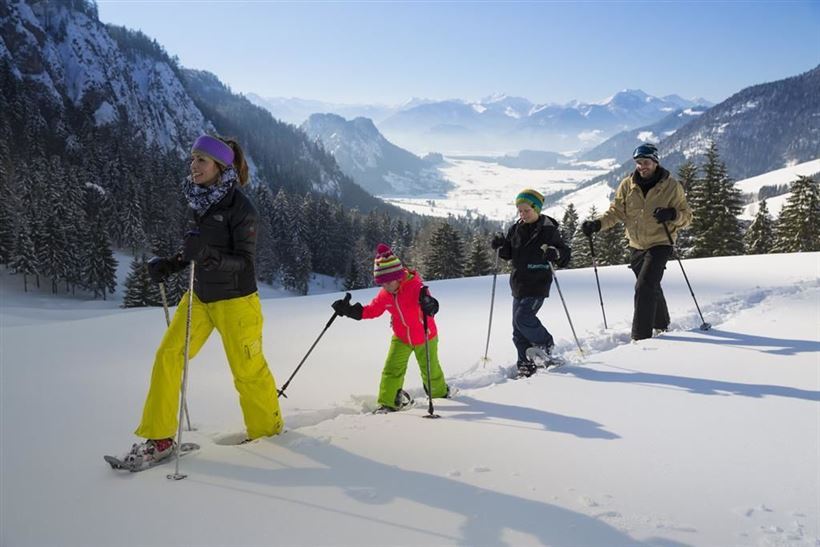
Snowshoe hiking

5,40 km

03:30 h

590 hm

1255 m

Best Time of Year

Jan

Feb

Mar

Apr

May

Jun

Jul

Aug

Sep

Oct

Nov

Dec

Information

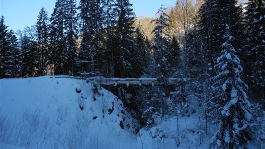
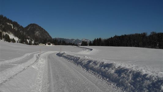
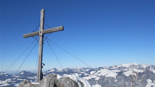
Pass the Gasthof Hohenkendl towards St. Johann and after approx. 300 m to the Kohlam car park. Along the forest trail to the Kohlalm, moderately steep terrain, beautiful Alpine area at the top.


Features & Characteristics

Endurance

Skill Level

Starting Point

Parkplatz Kohlalm

End Point

Kohlalm

Map & Elevation Profile

Similar Tour Suggestions

Riederalm

Easy

Hiking

Winter walking

Hiking tour

Starting Point: Dorfzentrum Walchsee

End Point: Riederalm

3,00 km

01:00 h

181 hm

850 m

Taubensee

Medium

Hiking

Snowshoe hiking

Starting Point: Schaffler Parkplatz

End Point: Taubensee

4,00 km

03:30 h

350 hm

1166 m

Schwendt Lucknerhof

Medium

Hiking

Winter walking

Starting Point: Schwendt

End Point: Tankstelle

5,20 km

02:00 h

100 hm

Hohe Brücke – Embach – Hohe Brücke

Medium

Hiking

Winter walking

Starting Point: Hohe Brücke

End Point: Hohe Brücke

4,60 km

01:30 h

150 hm

839 m

Schwendt – Aschental Circuit

Medium

Hiking

Winter walking

Hiking tour

Starting Point: Dorfzentrum Schwendt

End Point: Dorfzentrum Schwendt

2,30 km

01:00 h

72 hm

Rodelbahn - Aschinger

Easy

Sledding

Tobogganing

3,20 km

315 hm

Closed
Schwendt Village Circuit

Easy

Hiking

Winter walking

Starting Point: Dorfzentrum Schwendt

End Point: Dorfzentrum Schwendt

1,80 km

01:00 h

50 hm

Walchsee - Riederalm - Ottenalm

Medium

Hiking

Winter walking

Starting Point: Infobüro Walchsee

End Point: Ottenalm

3,70 km

01:30 h

300 hm

953 m