Hiking

Medium

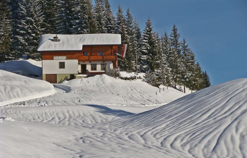
Walchsee - Wandberghütte

Snowshoe hiking

7,60 km

03:30 h

750 hm

352 hm

1367 m

Information

Starting point: the parking lot next to the Moarhof Golf Hotel.

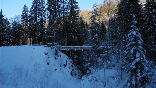
From there, head north across open terrain and through a forest until you reach the forest road. Turn left and follow it until you reach a crossroad.

Turn right and continue along the forest road, then over the Brennkopf and open

Read more ...

Recommended Equipment

Breathable outdoor clothing suitable for the weather, sturdy footwear, food (snacks, drinks),
sun protection (sunglasses, sun cream & cap), rain protection, cash; guest card if using the bus.

Features & Characteristics

Starting Point

Moarhof

End Point

Wandberghütte

Map & Elevation Profile

Similar Tour Suggestions

Hochberg Circuit

Easy

Hiking

Winter walking

Starting Point: Tourist Office Walchsee

End Point: Tourist Office Walchsee

7,60 km

02:30 h

190 hm

804 m

Aschinger Alm toboggan run

Easy

Sledding

Tobogganing

3,14 km

315 hm

Closed
Haraualm

Medium

Hiking

Winter walking

Hiking tour

+1

Starting Point: Hallbruckhof

End Point: Haraualm

3,30 km

01:30 h

330 hm

1004 m

Schwendt - Bichlach - Nr. 61a

Easy

Hiking

Winter walking

Hiking tour

Starting Point: Schwendt Village Center

End Point: Riedlwirt

3,50 km

01:00 h

30 hm

710 m

Walchsee - Heuberg

Medium

Hiking

Snowshoe hiking

Starting Point: Parking lot Hochberg

End Point: Heuberg

7,50 km

05:00 h

820 hm

1565 m

Jausenstation Mühlberghof

Easy

Hiking

Winter walking

Hiking tour

+1

Starting Point: Tourist Office Kössen

End Point: Jausenstation Mühlberghof

2,60 km

02:00 h

223 hm

804 m

Mühlberghof und Taubenseehütte

Medium

Hiking

Winter walking

Starting Point: Tourist Office Kössen

End Point: Taubenseehütte

5,30 km

04:00 h

620 hm

1172 m

Lucknerhof

Medium

Hiking

Winter walking

Hiking tour

Starting Point: Sports field Kössen

End Point: Sports field Kössen

9,80 km

03:00 h

292 hm

175 hm

720 m