Hiking

Medium

Walchsee - Riederalm - Ottenalm

Winter walking

Family-friendly

3,70 km

01:30 h

300 hm

953 m

Information

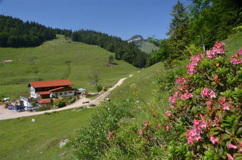
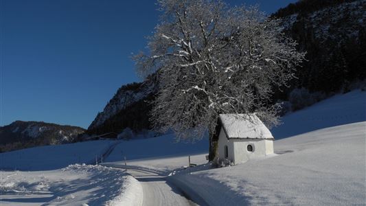
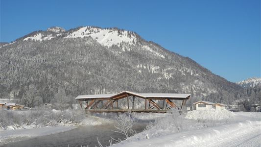
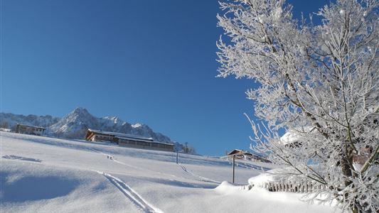
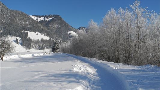
Start from the Walchsee tourist office and walk north. Follow the Hausbergstrasse road to the car park for the football ground. Then turn right and follow the gently rising route up approx. 2.5 km to the Riederalm and on to the Ottenalm. Route can also be used as a toboggan

Read more ...

Features & Characteristics

Starting Point

Tourist Office Walchsee

End Point

Ottenalm

Family-friendly

Yes

Map & Elevation Profile

Similar Tour Suggestions

Ramsbach Circuit

Easy

Hiking

Winter walking

Starting Point: Toruist Office Walchsee

End Point: Tourist Office Walchsee

2,80 km

01:00 h

30 hm

Rettenschöss - Wildbichlalm - Nr. 41

Medium

Hiking

Winter walking

Hiking tour

+1

Starting Point: Parking lot Wildbichl

End Point: Wildbichlalm

7,00 km

02:30 h

370 hm

155 hm

1018 m

Hohe Brücke – Embach – Hohe Brücke

Medium

Hiking

Winter walking

Starting Point: Hohe Brücke

End Point: Hohe Brücke

4,60 km

01:30 h

150 hm

839 m

Schwendt - Kohlental

Easy

Hiking

Winter walking

Starting Point: Schwendt

End Point: Gasthof Hohenkendl

8,50 km

03:00 h

87 hm

Schwendt - Kohlalm

Medium

Hiking

Snowshoe hiking

Starting Point: Parking lot Kohlalm

End Point: Kohlalm

5,40 km

03:30 h

590 hm

1255 m

Mühlberghof und Taubenseehütte

Medium

Hiking

Winter walking

Starting Point: Tourist Office Kössen

End Point: Taubenseehütte

5,30 km

04:00 h

620 hm

1172 m

Edernalm

Medium

Hiking

Winter walking

Starting Point: Gasthof Staffen

End Point: Edernalm

6,50 km

02:30 h

315 hm

909 m

Kössen - Edernalm - Walchsee

Medium

Hiking

Snowshoe hiking

Starting Point: Parkplatz Steinbauer

End Point: Parkplatz Steinbauer

3,50 km

03:00 h

500 hm

998 m