Hiking

Medium

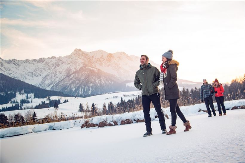
Kaiserwinklrunde Winterwandern

Winter walking

30,00 km

07:00 h

170 hm

701 m

Information

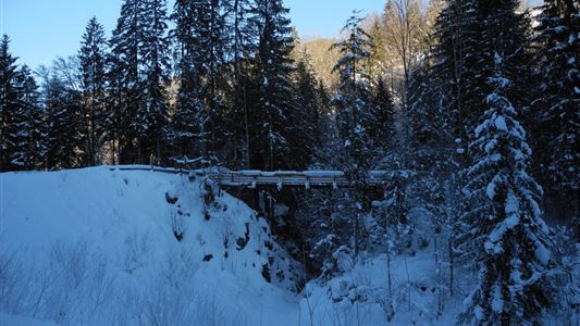
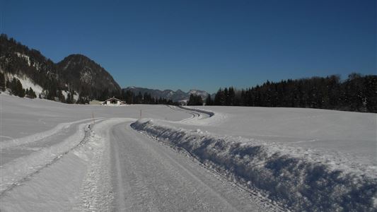
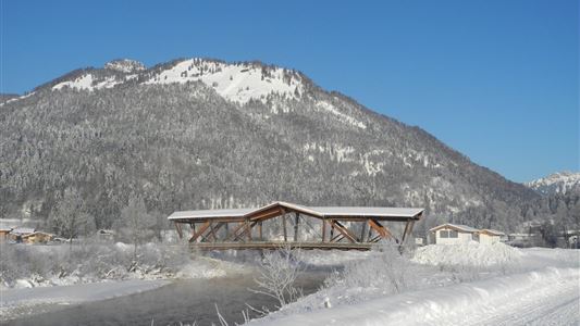
The Kaiserwinklrunde is of the length, athletic attractiveness and scenic beauty probably the most charming and interesting hiking trail in the Kaiserwinkl region. It connects the four Kaisewinkl villages. From the tourist information in Kössen on the path along the Ache to Hüttwirt. From there take way no. 65/66 to

Read more ...

Recommended Equipment

Breathable outdoor clothing suitable for the weather, sturdy footwear, food (snacks, drinks),
sun protection (sunglasses, sun cream & cap), rain protection, cash; guest card if using the bus

Features & Characteristics

Starting Point

Tourist Office Kössen

End Point

Tourist Office Kössen

Map & Elevation Profile

Arrival

By car to the information office in Kössen.

Similar Tour Suggestions

Ramsbach Circuit

Easy

Hiking

Winter walking

Starting Point: Toruist Office Walchsee

End Point: Tourist Office Walchsee

2,80 km

01:00 h

30 hm

Taubensee

Medium

Hiking

Snowshoe hiking

Starting Point: Schaffler Parkplatz

End Point: Taubensee

4,00 km

03:30 h

350 hm

1166 m

Hochberg Circuit

Easy

Hiking

Winter walking

Starting Point: Tourist Office Walchsee

End Point: Tourist Office Walchsee

7,60 km

02:30 h

190 hm

804 m

Seerundweg

Easy

Hiking

Winter walking

Hiking tour

Starting Point: Dorfzentrum Walchsee

End Point: Dorfzentrum Walchsee

5,50 km

01:30 h

30 hm

Riederalm - Nr. 47

Easy

Hiking

Winter walking

Hiking tour

Starting Point: Tourist Office Walchsee

End Point: Riederalm

3,00 km

01:00 h

181 hm

850 m

Rettenschöss - Gasthof Schöne Aussicht - Wandberghütte

Medium

Hiking

Winter walking

Snowshoe hiking

Starting Point: Parking lot Faistenau in Rettenschöss

End Point: Wandberghütte

4,70 km

03:30 h

510 hm

1352 m

Rettenschöss - Flecken

Easy

Hiking

Winter walking

Starting Point: Rettenschöss

End Point: Flecken

1,70 km

01:00 h

250 hm

923 m

Schwendt - Bichlach

Easy

Hiking

Winter walking

Hiking tour

Starting Point: Schwendt Dorfzentrum

End Point: Riedlwirt

3,50 km

01:00 h

30 hm

710 m