Hiking

Medium

Brennkopf No. 54

Hiking tour

Family-friendly

+1

8,60 km

04:00 h

738 hm

1330 m

Best Time of Year

Jan

Feb

Mar

Apr

May

Jun

Jul

Aug

Sep

Oct

Nov

Dec

Information

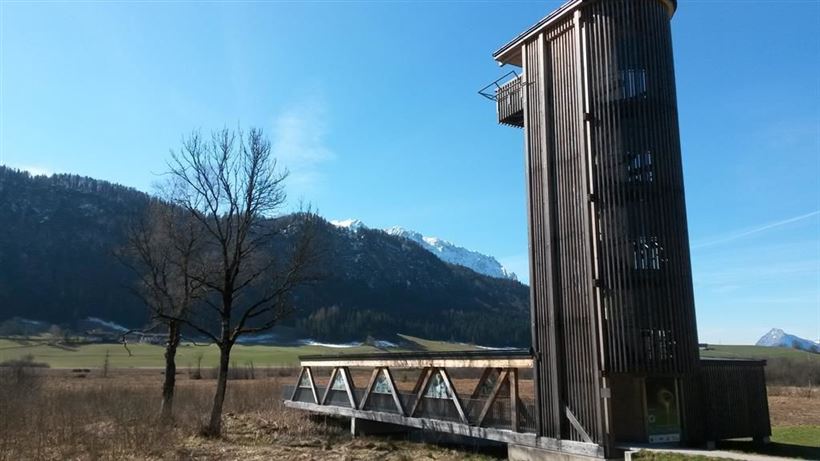
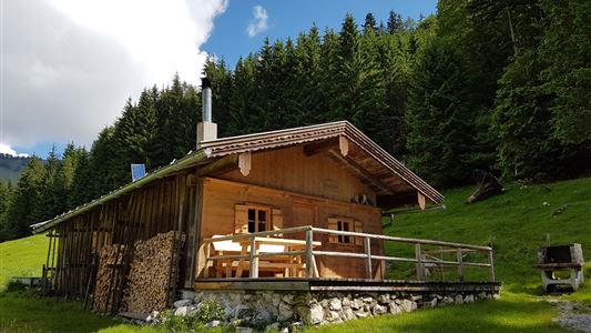
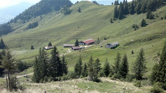
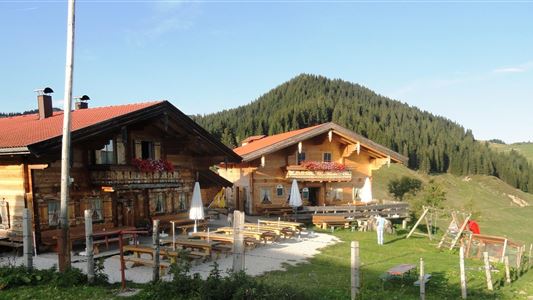
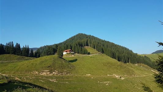
Starting point is the "Schwemmturm" at the Golf Hotel Moarhof in Walchsee. Opposite the parking lot leads a steep path over fields and through the forest to the Hitscheralm (refreshments available). Alternatively, you can walk along the golf course from the "Schwemmturm", towards Stauding and then on the right hand

Read more ...

Recommended Equipment

suitable clothing, proper footwear, backpack, rain cover, possibly walking sticks, mobile phone, sun cream, snack (bread time) and drinks, possibly camera

Features & Characteristics

Endurance

Skill Level

Huts & Alpine Pastures

Starting Point

Schwemmturm Walchsee

End Point

Schwemmturm Walchsee

Family-friendly

Yes

Loop tour

Yes

Map & Elevation Profile

Arrival

By car to the village center of Walchsee.

Turn into the avenue and drive to the observation tower of Schwemm.

Similar Tour Suggestions

Feistenau to Wildbichlalm

Easy

Hiking

Hiking tour

Starting Point: Gasthaus Schöne Aussicht

End Point: Gasthaus Schöne Aussicht

2,10 km

01:15 h

107 hm

1094 m

Schwendt - Kohlalm

Medium

Hiking

Hiking tour

Starting Point: Parkplatz Kohlalm

End Point: Kohlalm

5,40 km

02:00 h

590 hm

1255 m

Niederhausental - Lackalm

Medium

Hiking

Hiking tour

Starting Point: Feuerwehrhaus Schwendt

End Point: Lackalm

9,50 km

06:00 h

884 hm

260 hm

1331 m

Habersautal-Feldalm-Hochalm

Medium

Hiking

Hiking tour

Starting Point: Walchsee

End Point: Walchsee

22,80 km

07:00 h

1178 hm

1024 hm

1420 m

Partially Open
Priener Hütter - Karkopf

Medium

Hiking

Hiking tour

Starting Point: Infobüro Walchsee

End Point: Infobüro Walchsee

18,20 km

06:00 h

1118 hm

1093 hm

1451 m

Kaiserbachtal - Feldberg - Stripsenjoch

Medium

Hiking

Hiking tour

Starting Point: Kirchdorf - Parking Kaiserbachtal

End Point: Kirchdorf - Parking Kaiserbachtal

21,00 km

09:00 h

1170 hm

1180 hm

1800 m

Leitwang

Easy

Hiking

Hiking tour

6,70 km

02:00 h

92 hm

93 hm

670 m

Four-summit round Rettenschöss

Medium

Hiking

Hiking tour

Summit hike

Starting Point: Walchsee

End Point: Kössen

15,50 km

06:00 h

820 hm

1454 m