Hiking

Easy

Um den Ramsbach

Hiking tour

Family-friendly

+2

2,80 km

01:00 h

35 hm

694 m

Best Time of Year

Jan

Feb

Mar

Apr

May

Jun

Jul

Aug

Sep

Oct

Nov

Dec

Information

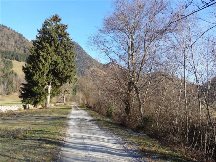
From the village center, at Café Ilgerhof, in northern direction at Biosennerei over to the Ramsbach bridge. Immediately after the bridge turn right, follow the footpath along Ramsbach to Winkl. Then right along the driveway to Walchsee.

Recommended Equipment

Breathable outdoor clothing suitable for the weather, sturdy footwear, food (snacks, drinks),
sun protection (sunglasses, sun cream & cap), rain protection, cash; guest card if using the bus

Features & Characteristics

Starting Point

Tourist Office Walchsee

End Point

Tourist Office Walchsee

Family-friendly

Yes

Stroller-friendly

Yes

Loop tour

Yes

Map & Elevation Profile

Arrival

By car to the village centre Walchsee

Similar Tour Suggestions

Schwendt - Aschentalrunde

Medium

Hiking

Winter walking

Hiking tour

Starting Point: Tourist Office Schwendt

End Point: Tourist Office Schwendt

2,30 km

01:00 h

72 hm

Moosen - Peternhof

Easy

Hiking

Hiking tour

Starting Point: Village Center Kössen

End Point: Peternhof

3,10 km

01:30 h

306 hm

798 m

Schwendt - Bichlach - Nr. 61a

Easy

Hiking

Winter walking

Hiking tour

Starting Point: Schwendt Village Center

End Point: Riedlwirt

3,50 km

01:00 h

30 hm

710 m

Village Loop - Kössen - Nr. 14

Hiking

Starting Point: Starting point roundabout in Kössen

End Point: Ending point roundabout in Kössen

3,90 km

01:00 h

594 m

Kössen - Unterberghorn

Hard

Hiking

Hiking tour

Starting Point: Parkplatz Unterbergbahn

End Point: Unterberg Gipfelkreuz

8,60 km

04:00 h

1294 hm

168 hm

1751 m

Edernalm - Rudersburg

Hard

Hiking

Hiking tour

Starting Point: Parking lot Steinbauer

End Point: Parking lot Steinbauer

13,30 km

04:30 h

911 hm

882 hm

1431 m

Schwendt-E-Werk-Schwendt - Nr. 65, 56, 12, 61

Easy

Hiking

Hiking tour

Starting Point: Tourist Office Schwendt

End Point: Tourist Office Schwendt

8,10 km

02:00 h

181 hm

Premiumwanderweg Kugelwand - Harauspitze Nr.: 49,47

Medium

Hiking

Hiking tour

Thematic route

+1

Starting Point: Parking lot footballfield

End Point: Parking lot footballfield

6,50 km

04:00 h

475 hm

445 hm

1115 m