Hiking

Medium

Edernalm - Karalm

Hiking tour

7,40 km

03:00 h

951 hm

1301 m

Best Time of Year

Jan

Feb

Mar

Apr

May

Jun

Jul

Aug

Sep

Oct

Nov

Dec

Information

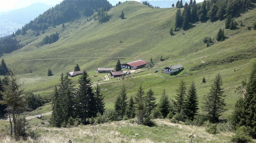
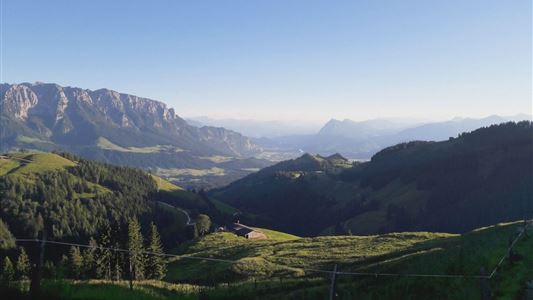
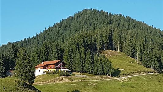
Start is at parking lot Steinbauer in Kössen. From there you walk in direction Staffen, then you have to turn left at some farmhouses to restaurant Staffnerhof. There you follow the path to Edernalm on the right. You walk by the Notheggeralmen and on the left side you get to

Read more ...

Recommended Equipment

Breathable outdoor clothing suitable for the weather, sturdy footwear, food (snacks, drinks),
sun protection (sunglasses, sun cream & cap), rain protection, cash; guest card if using the

Features & Characteristics

Endurance

Skill Level

Huts & Alpine Pastures

Starting Point

Parkplatz Steinbauer Kössen

End Point

Karalm

Map & Elevation Profile

Arrival

To the village centre of Kössen or to the district Staffen

Similar Tour Suggestions

Schwarzwald - Taubensee

Medium

Hiking

Hiking tour

Starting Point: Tourist Office Kössen

End Point: Tourist Office Kössen

11,20 km

03:30 h

630 hm

1176 m

Premium hike Quellenweg Schwendt - Nr. 61, 64

Hiking

Hiking tour

+1

Starting Point: Parking lot near the Kaiserwinkl fish ponds

End Point: Parking Lot Dankl, Kohlental, Schwendt

3,10 km

01:00 h

21 hm

14 hm

675 m

Schwemmrunde

Easy

Hiking

Hiking tour

Starting Point: Tourist Office Walchsee

End Point: Tourist Office Walchsee

6,50 km

01:30 h

50 hm

Hochalm - Heuberg

Medium

Hiking

Hiking tour

Starting Point: Parking lot Hochberg

End Point: Parking lot Hochberg

15,80 km

06:30 h

1252 hm

1247 hm

1603 m

Kössen - Unterberg - Lackalm - Nr. 26, 70

Hard

Hiking

Hiking tour

Starting Point: Unterberg Valleystation

End Point: Lackalm

17,60 km

07:00 h

1325 hm

1336 hm

1749 m

Pyramidenspitze - Vorderkaiserfelden Nr. 90,91,95,811,49

Hard

Hiking

Hiking tour

Starting Point: Parking lot Hochberg Durchholzen

End Point: Parking lot Hochberg Durchholzen

17,60 km

09:00 h

1665 hm

1999 m

Dorfrunde Rettenschöss - Nr. 39

Easy

Hiking

Starting Point: Municipal office Rettenschöss

End Point: Municipal office Rettenschöss

5,60 km

01:30 h

116 hm

667 m

Vier Elemente Weg

Easy

Hiking

Hiking tour

Starting Point: Tourist Office Walchsee

End Point: Tourist Office Walchsee

1,80 km

01:00 h

40 hm

701 m