Hiking

Easy

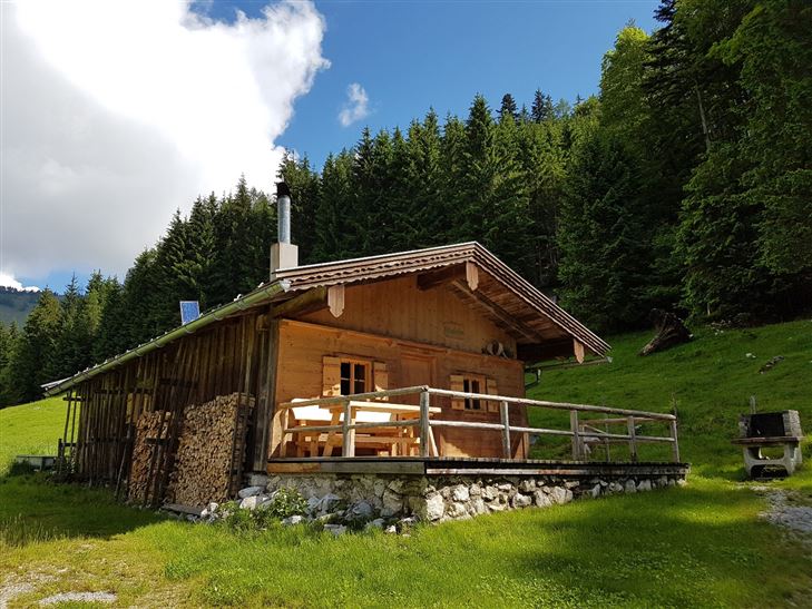
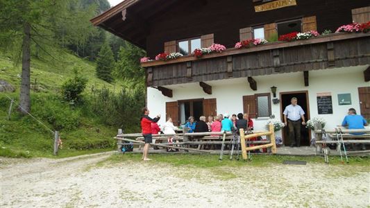
Glassalm

Hiking tour

Loop tour

7,50 km

02:00 h

260 hm

279 hm

806 m

Best Time of Year

Jan

Feb

Mar

Apr

May

Jun

Jul

Aug

Sep

Oct

Nov

Dec

Information

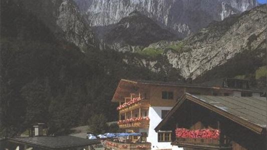
Start is in Kössen at the parking Steinbauer near the Staffenbrücke, along the Achendamm through the underpass and right at the Annakapelle over to the district Außerkapelle or the main road to Walchsee. About 300 m after the Hotel Alpina, turn right to Landhaus Dax. Through forest and alpine terrain

Read more ...

Recommended Equipment

entsprechende Kleidung, richtiges Schuhwerk, Rucksack, Regenschutz, evtl. Wanderstöcke, Handy, Sonnencreme, Jause (Brotzeit) und Getränke, evtl. Fotokamera

Features & Characteristics

Endurance

Skill Level

Huts & Alpine Pastures

Starting Point

Staffenbrücke Kössen

End Point

Staffenbrücke Kössen

Loop tour

Yes

Map & Elevation Profile

Similar Tour Suggestions

Lucknerhof

Medium

Hiking

Winter walking

Hiking tour

Starting Point: Sportplatz Kössen

End Point: Sportplatz Kössen

9,80 km

03:00 h

292 hm

175 hm

720 m

Haraualm

Medium

Hiking

Winter walking

Hiking tour

+1

Starting Point: Hallbruckhof

End Point: Haraualm

3,30 km

01:30 h

330 hm

1004 m

Priener Hütter - Karkopf

Medium

Hiking

Hiking tour

Starting Point: Infobüro Walchsee

End Point: Infobüro Walchsee

18,20 km

06:00 h

1118 hm

1093 hm

1451 m

Schwemmrunde

Easy

Hiking

Hiking tour

Starting Point: Infobüro Walchsee

End Point: Infobüro Walchsee

6,50 km

01:30 h

50 hm

Unterberghorn

Hard

Hiking

Hiking tour

Starting Point: Parkplatz Unterbergbahn

End Point: Unterberg Gipfelkreuz

8,60 km

04:00 h

1294 hm

168 hm

1751 m

Schwendt – Aschental Circuit

Medium

Hiking

Winter walking

Hiking tour

Starting Point: Dorfzentrum Schwendt

End Point: Dorfzentrum Schwendt

2,30 km

01:00 h

72 hm

Dorfrunde - Kalvarienberg

Easy

Hiking

Starting Point: 92

End Point: Pfarrkirche Walchsee

2,40 km

02:30 h

96 hm

92 m

Lippenalm- Ebersberg - Gwirchtalm

Medium

Hiking

Hiking tour

Starting Point: Walchsee

End Point: Walchsee

11,00 km

04:30 h

487 hm

1140 m