Hiking

Medium

über die Almen von Walchsee nach Kössen - Nr. 54, 47a, 3, 14, 8, 87,24

Hiking tour

21,60 km

08:00 h

1521 hm

1588 hm

1641 m

Best Time of Year

Jan

Feb

Mar

Apr

May

Jun

Jul

Aug

Sep

Oct

Nov

Dec

Information

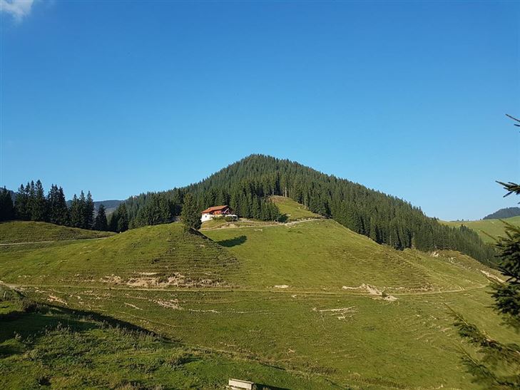
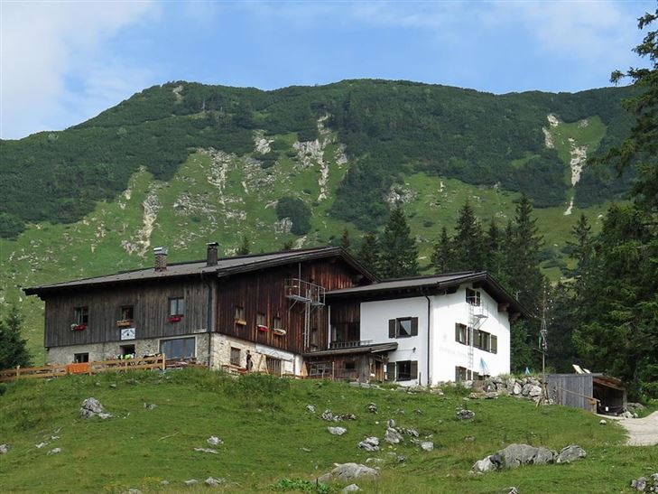
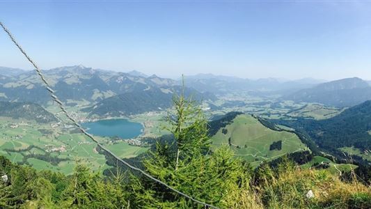
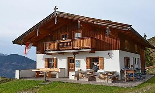
Start at the tourist office in Walchsee, you go in a north-westerly direction towards Schwemm, the largest moor landscape in North Tyrol. Just before the golf course turn off to the north and follow the signs to Wandberg. Over the Hitscheralm you go up to the Wandberg hut, over the

Read more ...

Recommended Equipment

Breathable outdoor clothing suitable for the weather, sturdy footwear, food (snacks, drinks),
sun protection (sunglasses, sun cream & cap), rain protection, cash; guest card if using the bus

Features & Characteristics

Starting Point

Walchsee

End Point

Kössen

Map & Elevation Profile

Arrival

By car in the centre of Walchsee

Similar Tour Suggestions

Kössen - Bichlach - Walchsee - Nr. 11

Easy

Hiking

Hiking tour

Starting Point: Tourist Office Kössen

End Point: Tourist Office Walchsee

10,00 km

02:30 h

184 hm

112 hm

699 m

Kaiserbachtal

Easy

Hiking

Hiking tour

Starting Point: Kirchdorf i.T. hiking parking lot Kaiserbachtal

End Point: Kirchdorf i.T. hiking parking lot Kaiserbachtal

10,10 km

03:15 h

256 hm

263 hm

992 m

Hochbergrunde - Walchsee Nr. 45, 88, 52, 88

Easy

Hiking

Hiking tour

Starting Point: Parkplatz Liftanlagen Zahmer Kaiser

End Point: Parkplatz Liftanlagen Zahmer Kaiser

5,80 km

01:45 h

123 hm

Partially Open
Hochschanz / Kalvarienberg - Kössen - Nr. 21,2

Easy

Hiking

Starting Point: 92

End Point: Pfarrkirche Walchsee

2,40 km

02:30 h

96 hm

92 m

Kugelwandrunde - Nr. 37,50

Medium

Hiking

Hiking tour

4,10 km

02:00 h

222 hm

217 hm

881 m

Walchsee - Ottenalm - Edernalm - Kössen - Nr. 47, 25, 24

Easy

Hiking

Hiking tour

Starting Point: Tourist Office Walchsee

End Point: Tourist Office Kössen

8,70 km

03:00 h

401 hm

466 hm

1002 m

Premium hike Quellenweg Schwendt - Nr. 61, 64

Hiking

Hiking tour

+1

Starting Point: Parking lot near the Kaiserwinkl fish ponds

End Point: Parking Lot Dankl, Kohlental, Schwendt

3,10 km

01:00 h

21 hm

14 hm

675 m

Rettenschöss - Wildbichlalm - Nr. 41

Medium

Hiking

Winter walking

Hiking tour

+1

Starting Point: Parking lot Wildbichl

End Point: Wildbichlalm

7,00 km

02:30 h

370 hm

155 hm

1018 m