Hiking

Medium

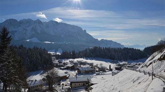
Hohe Brücke – Embach – Hohe Brücke

Winter walking

4,60 km

01:30 h

150 hm

839 m

Information

Start: Hohe Brücke car park on the Mühlbergweg trail in Kössen

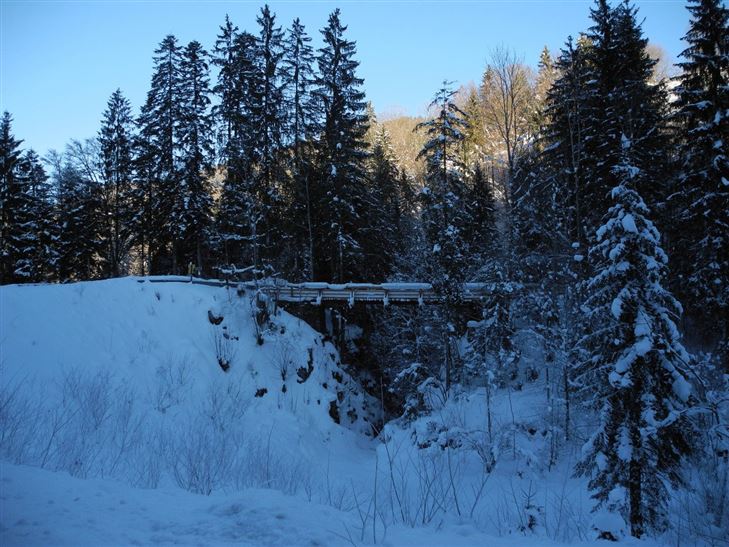
After crossing the bridge, follow the steep wooded section to the first farms. Turn right here along the Mühlbergweg trail to the Ruppen farm then bearing left to Embachhof. From Embachhof, follow the road back to the start.  A circular

Read more ...

Features & Characteristics

Starting Point

Hohe Brücke

End Point

Hohe Brücke

Map & Elevation Profile

Arrival

By car to the "Hohe Brücke" (Kössen)

Similar Tour Suggestions

Schwendt - Aschentalrunde Nr. 65

Medium

Hiking

Winter walking

Hiking tour

Starting Point: Tourist Office Schwendt

End Point: Tourist Office Schwendt

2,30 km

01:00 h

72 hm

Rettenschöss - Flecken

Easy

Hiking

Winter walking

Starting Point: Rettenschöss

End Point: Flecken

1,70 km

01:00 h

250 hm

923 m

Rodelbahn - Aschinger

Easy

Sledding

Tobogganing

3,20 km

315 hm

Closed
Lucknerhof - Nr 62

Medium

Hiking

Winter walking

Hiking tour

Starting Point: Sports field Kössen

End Point: Sports field Kössen

9,80 km

03:00 h

292 hm

175 hm

720 m

Jausenstation Mühlberghof - Nr. 21

Easy

Hiking

Winter walking

Hiking tour

+1

Starting Point: Tourist Office Kössen

End Point: Jausenstation Mühlberghof

2,60 km

02:00 h

223 hm

804 m

Walchsee - Wandberghütte

Medium

Hiking

Snowshoe hiking

Starting Point: Moarhof

End Point: Wandberghütte

7,60 km

03:30 h

750 hm

352 hm

1367 m

Ramsbach Circuit

Easy

Hiking

Winter walking

Starting Point: Toruist Office Walchsee

End Point: Tourist Office Walchsee

2,80 km

01:00 h

30 hm

Kössen - Edernalm - Walchsee

Medium

Hiking

Snowshoe hiking

Starting Point: Parkplatz Steinbauer

End Point: Parkplatz Steinbauer

3,50 km

03:00 h

500 hm

998 m