Hiking

Easy

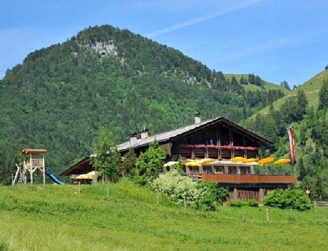
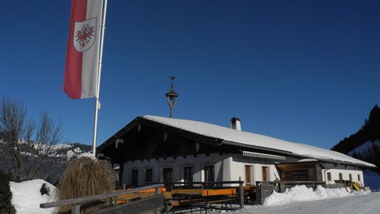
Edernalm - Nr. 24

Hiking tour

3,20 km

01:00 h

337 hm

918 m

Best Time of Year

Jan

Feb

Mar

Apr

May

Jun

Jul

Aug

Sep

Oct

Nov

Dec

Information

From the Steinbauer car park in Kössen, walk towards Staffnerhof and after approx. 150m, turn left onto the footpath and follow this as far as Staffnerhof. From Staffnerhof, the route follows up to the Edernalm.

Recommended Equipment

Breathable outdoor clothing suitable for the weather, sturdy footwear, food (snacks, drinks),
sun protection (sunglasses, sun cream & cap), rain protection, cash; guest card if using the bus

Features & Characteristics

Endurance

Huts & Alpine Pastures

Map & Elevation Profile

Arrival

To the village centre of Kössen

Similar Tour Suggestions

Stripsenjoch

Medium

Hiking

Hiking tour

Starting Point: Griesneralm

End Point: Stripsenjochhaus

3,50 km

04:30 h

633 hm

58 hm

1578 m

Unterberg

Hard

Hiking

Hiking tour

Starting Point: Gondelbahn Unterberg

End Point: Gondelbahn Unterberg

17,60 km

07:00 h

1325 hm

1336 hm

1749 m

Hochalm - Heuberg

Medium

Hiking

Hiking tour

Starting Point: Parkplatz Lippenalm

End Point: Parkplatz Lippenalm

15,80 km

06:30 h

1252 hm

1247 hm

1603 m

Partially Open
Village Loop - Kössen - Nr. 14

Hiking

Starting Point: Starting point roundabout in Kössen

End Point: Ending point roundabout in Kössen

3,90 km

01:00 h

594 m

Dorfrunde - Schwendt - Nr. 63

Easy

Hiking

Starting Point: Municipal office of Schwendt

End Point: Municipal office of Schwendt

1,80 km

00:40 h

50 hm

752 m

Rettenschöss Feistenau - in Richtung Wandberg - Nr. 47A, 14

Easy

Hiking

Hiking tour

Starting Point: Gasthaus Schöne Aussicht in Rettenschöss

End Point: Gasthaus Schöne Aussicht in Rettenschöss

9,00 km

03:30 h

353 hm

1326 m

Medium

Hiking

Hiking tour

4,10 km

02:00 h

222 hm

217 hm

881 m

Kaiserbachtal

Easy

Hiking

Hiking tour

Starting Point: Kirchdorf i.T. hiking parking lot Kaiserbachtal

End Point: Kirchdorf i.T. hiking parking lot Kaiserbachtal

10,10 km

03:15 h

256 hm

263 hm

992 m