Hiking

Medium

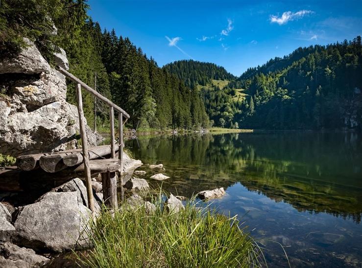
Taubensee - Nr. 21

Hiking tour

+1

13,00 km

05:00 h

620 hm

1172 m

Best Time of Year

Jan

Feb

Mar

Apr

May

Jun

Jul

Aug

Sep

Oct

Nov

Dec

Information

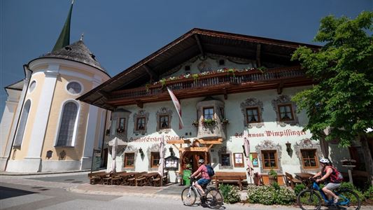
Start is at the information office in Kössen, through the Ortstzentrum and on the Mühlbergweg rising to the high bridge. From there branching off, the footpath leads through a forest on the Mühlbergweg. Turn left, after a few meters turn right at the Schafflerbauernhaus, follow the path and pass the

Read more ...

Recommended Equipment

Breathable outdoor clothing suitable for the weather, sturdy footwear, food (snacks, drinks),
sun protection (sunglasses, sun cream & cap), rain protection, cash; guest card if using the bus

Features & Characteristics

Starting Point

Information Office Kössen

End Point

Information Office Kössen

Loop tour

Yes

Map & Elevation Profile

Arrival

By car to the village centre of Kössen

Similar Tour Suggestions

Village Loop - Kössen - Nr. 14

Hiking

Starting Point: Starting point roundabout in Kössen

End Point: Ending point roundabout in Kössen

3,90 km

01:00 h

594 m

Kaiserbachtal - Griesner Alm - Nr. 80

Easy

Hiking

Hiking tour

Starting Point: Gasthof Griesenau

End Point: Griesner Alm

5,30 km

03:00 h

320 hm

46 hm

1003 m

Kössen - Unterberghorn - Nr. 26

Hard

Hiking

Hiking tour

Starting Point: Parkplatz Unterbergbahn

End Point: Unterberg Gipfelkreuz

8,60 km

04:00 h

1294 hm

168 hm

1751 m

Stubenalm - Nr. 72

Easy

Hiking

Hiking tour

Starting Point: Hohenkendel Schwendt

End Point: Stubenalm

4,00 km

03:00 h

379 hm

135 hm

1032 m

Josefstalrunde / Walchsee-Kössen - Nr. 40

Medium

Hiking

Starting Point: Parish church Walchsee

End Point: Parish church Walchsee

5,60 km

02:00 h

220 hm

Walchsee - Ottenalm - Nr. 47

Easy

Hiking

Hiking tour

Starting Point: Tourist Office Walchsee

End Point: Ottenalm

3,50 km

01:30 h

309 hm

950 m

 Karspitze - Wandberg Rundwanderung - Nr. 14, 47a

Medium

Hiking

Hiking tour

Starting Point: Gasthaus Schöne Aussicht in Rettenschöss

End Point: Gasthaus Schöne Aussicht in Rettenschöss

11,00 km

05:00 h

594 hm

592 hm

Schwarzwald - Taubensee - Nr. 22

Medium

Hiking

Hiking tour

Starting Point: Tourist Office Kössen

End Point: Tourist Office Kössen

11,20 km

03:30 h

630 hm

1176 m