Hiking

Medium

Walchsee - Heuberg

Snowshoe hiking

7,50 km

05:00 h

820 hm

1565 m

Best Time of Year

Jan

Feb

Mar

Apr

May

Jun

Jul

Aug

Sep

Oct

Nov

Dec

Information

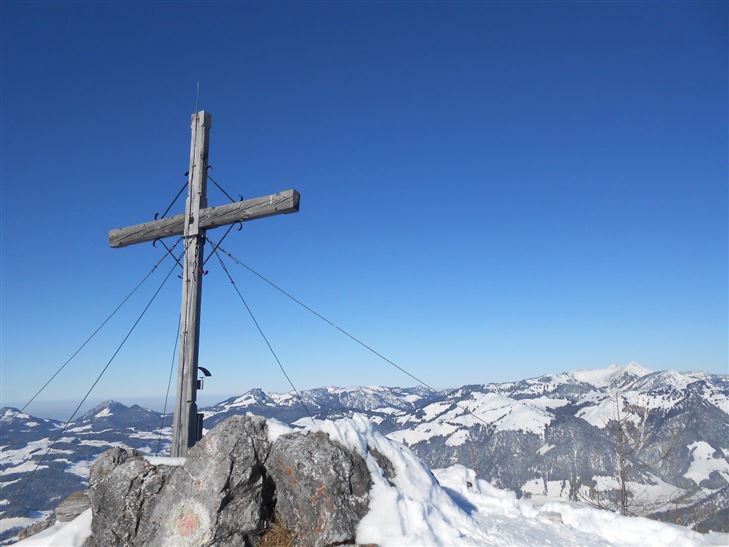
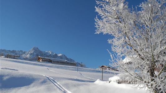
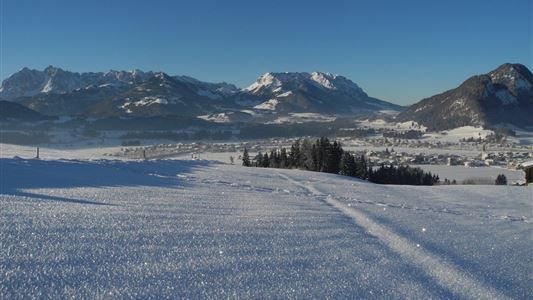
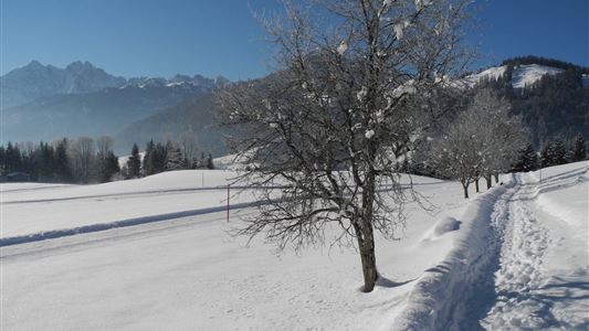
A beautiful and varied tour, although it may not appear so at first glance. From the starting point, only the steep and wooded flank to the north is visible. However there are wonderful slopes on the east and south side. Plus impressive views of the Walchsee lake and south to

Read more ...

Features & Characteristics

Endurance

Skill Level

Starting Point

Parkplatz Hochberg

End Point

Heuberg

Map & Elevation Profile

Similar Tour Suggestions

Kaiserwinkl Runde

Medium

Hiking

Winter walking

Starting Point: Walchsee Dorfzentrum

End Point: Kössen Dorfzentrum

30,00 km

07:00 h

170 hm

701 m

Hochberg Circuit

Easy

Hiking

Winter walking

Starting Point: Dorfzentrum

End Point: Dorfzentrum

7,60 km

02:30 h

190 hm

804 m

Rettenschöss - Wildbichlalm

Medium

Hiking

Winter walking

Hiking tour

+1

Starting Point: Rettenschöss

End Point: Wildbichlalm

7,00 km

02:30 h

370 hm

155 hm

1018 m

Taubensee

Medium

Hiking

Snowshoe hiking

Starting Point: Schaffler Parkplatz

End Point: Taubensee

4,00 km

03:30 h

350 hm

1166 m

Around the Miesberg

Easy

Hiking

Winter walking

Starting Point: Dorfzentrum walchsee

End Point: Dorfzentrum Walchsee

10,00 km

02:30 h

100 hm

183 hm

729 m

Rettenschöss - Flecken

Easy

Hiking

Winter walking

Starting Point: Rettenschöss

End Point: Flecken

1,70 km

01:00 h

250 hm

923 m

Peternhof Circuit

Medium

Hiking

Winter walking

Starting Point: Dorfzentrum Kössen

End Point: Dorfzentrum Kössen

7,00 km

03:00 h

220 hm

811 m

Rodelbahn - Aschinger

Easy

Sledding

Tobogganing

3,20 km

315 hm

Closed