Hiking

Medium

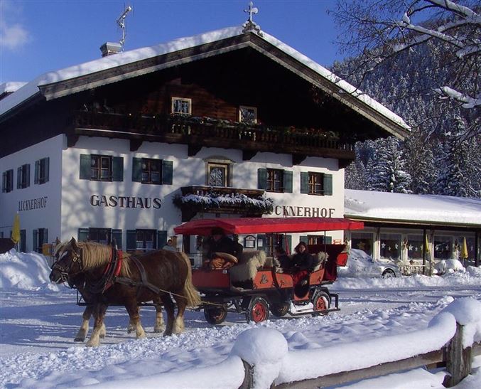
Schwendt Lucknerhof

Winter walking

Family-friendly

+1

5,20 km

02:00 h

100 hm

Information

From Schwendt kindergarten, turn right towards Schlecht. At the next crossing, turn left past the Hackerhof and follow the path downhill through the forest. Then bear right to the Gasthof Lucknerhof. From here, connection to

Kössen possible via the Winterwanderweg (winter footpath) no. 12. For the return journey, take the Lucknerweg

Read more ...

Features & Characteristics

Starting Point

Schwendt

End Point

Tankstelle

Family-friendly

Yes

Loop tour

Yes

Map & Elevation Profile

Similar Tour Suggestions

Schwendt - Bichlach

Easy

Hiking

Winter walking

Hiking tour

Starting Point: Schwendt Dorfzentrum

End Point: Riedlwirt

3,50 km

01:00 h

30 hm

710 m

Walchsee to Kössen

Medium

Hiking

Winter walking

Starting Point: Dorfzentrum walchsee

End Point: Dorfzentrum Kössen

8,10 km

02:30 h

50 hm

226 hm

Schwendt - Kohlalm

Medium

Hiking

Snowshoe hiking

Starting Point: Parkplatz Kohlalm

End Point: Kohlalm

5,40 km

03:30 h

590 hm

1255 m

Rettenschöss - Flecken

Easy

Hiking

Winter walking

Starting Point: Rettenschöss

End Point: Flecken

1,70 km

01:00 h

250 hm

923 m

Peternhof Circuit

Medium

Hiking

Winter walking

Starting Point: Dorfzentrum Kössen

End Point: Dorfzentrum Kössen

7,00 km

03:00 h

220 hm

811 m

Haraualm

Medium

Hiking

Winter walking

Hiking tour

+1

Starting Point: Hallbruckhof

End Point: Haraualm

3,30 km

01:30 h

330 hm

1004 m

Lucknerhof

Medium

Hiking

Winter walking

Hiking tour

Starting Point: Sportplatz Kössen

End Point: Sportplatz Kössen

9,80 km

03:00 h

292 hm

175 hm

720 m

Walchsee - Riederalm - Ottenalm

Medium

Hiking

Winter walking

Starting Point: Infobüro Walchsee

End Point: Ottenalm

3,70 km

01:30 h

300 hm

953 m