Hiking

Easy

Vicinity: Sagenweg Waidring

Attraction

Playground

+1

5,00 km

02:00 h

70 hm

Best Time of Year

Jan

Feb

Mar

Apr

May

Jun

Jul

Aug

Sep

Oct

Nov

Dec

Information

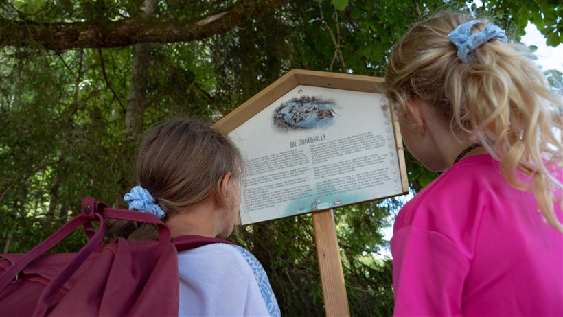
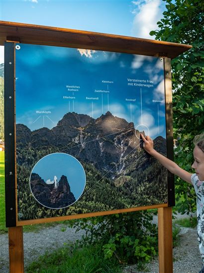
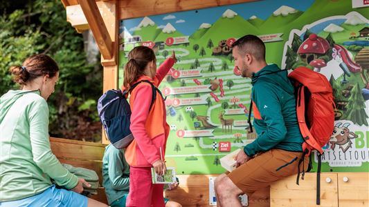
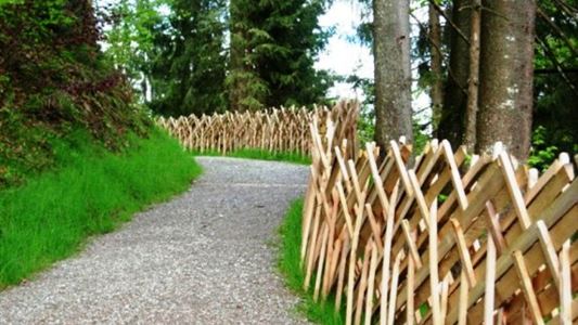
Starting from the car park at Hausberg, follow the signs to the individual stations. First at the foot of the Hausberg, then along the Haselbach, the family-friendly trail, which is suitable for prams, leads through the village.

Recommended Equipment

Breathable outdoor clothing suitable for the weather, sturdy footwear, food (snacks, drinks),
sun protection (sunglasses, sun cream & cap), rain protection, cash; guest card if using the bus

Features & Characteristics

Starting Point

Hausberg car park Waidring

End Point

Hausberg car park Waidring

Map & Elevation Profile

Arrival

Coming from Fieberbrunn or St. Ulrich a.P. via the L2 Pillerseestraße, coming from St. Johann in Tirol via the B178 Loferer Bundesstraße to Waidring.

Similar Tour Suggestions

Vicinity: Wohlfühlweg (The Well-Being Trail)

Easy

Hiking

Attraction

Playground

+1

Starting Point: Tourist Office Westendorf

End Point: Tourist Office Westendorf

3,60 km

01:30 h

130 hm

878 m

Vicinity: 2nd stage KAT Walk Family

Medium

Hiking

Attraction

Starting Point: Brixen im Thale - centre

End Point: Kirchberg in Tirol - centre

13,50 km

07:00 h

961 hm

951 hm

1770 m

Vicinity: Spoggolino

Easy

Hiking

Attraction

Playground

+1

Starting Point: Choralpe Westendorf

End Point: Bergstation Alpenrosenbahn

600 m

30 hm

1805 m

Vicinity: 1st stage KAT Walk Family

Medium

Hiking

Attraction

Starting Point: Valley Station Salvenbahn - Hopfgarten

End Point: Brixen im Thale - centre

10,00 km

05:30 h

700 hm

1050 hm

1829 m

Vicinity: 4th stage KAT Walk Family

Medium

Hiking

Attraction

Starting Point: St. Johann in Tirol - centre

End Point: Fieberbrunn

6,50 km

03:30 h

500 hm

370 hm

1200 m

Umgebung: Alpinolino Himmelsteig

Easy

Hiking

Attraction

Starting Point: Mountainstation Alpenrosenbahn Talkaser

End Point: Mountainstation Alpenrosenbahn Talkaser

2,10 km

01:00 h

100 hm

1887 m

Umgebung: Alpinolino  Holzwurmweg

Medium

Hiking

Attraction

Starting Point: Mittelstation Alpenrosenbahn Westendorf

End Point: Talstation Alpenrosenbahn Westendorf

3,70 km

01:30 h

487 hm

1314 m