Hiking

Easy

Vicinity: Moor & more Rocky-Way

Playground

+2

8,00 km

03:00 h

380 hm

996 m

Best Time of Year

Jan

Feb

Mar

Apr

May

Jun

Jul

Aug

Sep

Oct

Nov

Dec

Information

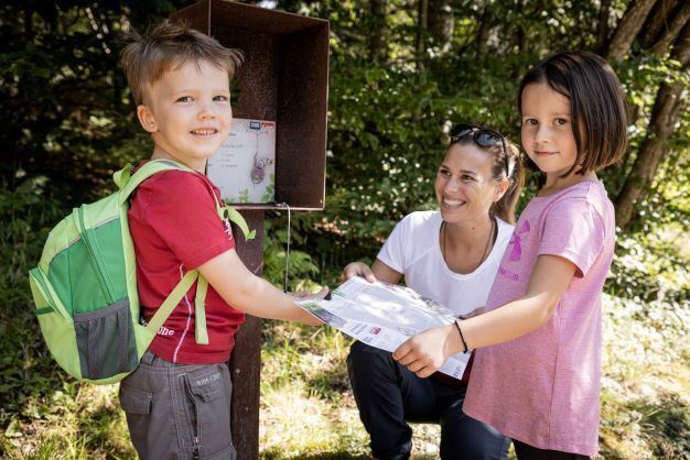
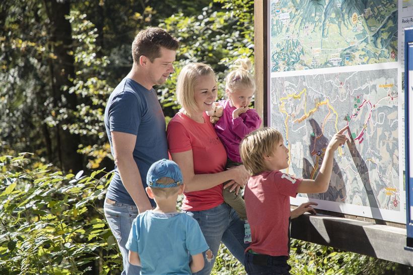
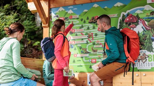
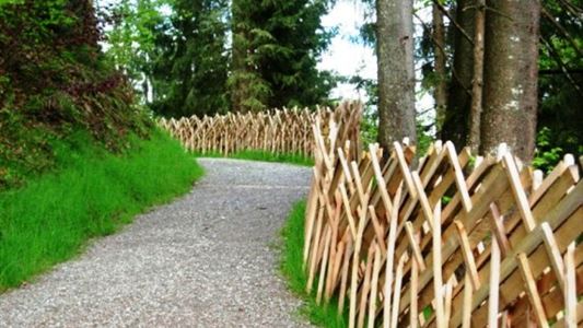
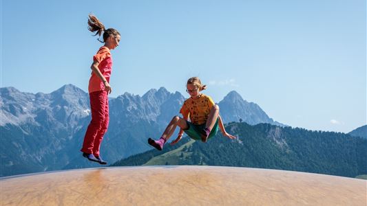
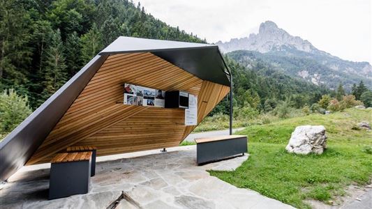
The Rocky way departs from the hiking starting point at Hüttling (pay & display), above the bathing lake. You should walk along the forest road towards the Wilder Kaiser, accompanied by the rushing of the Sinnersbach stream, before bearing right. Throughout the moorland, there are play areas for children, information

Read more ...

Recommended Equipment

- outdoor clothing

- sturdy shoes

- Sufficient food and drinks

- First aid kit

- Mobile phone with full battery & charger

- Hiking map & guide literature

- GPS device or download the GPS data to your mobile phone if necessary

- Sun protection (sunglasses, sun cream, cap)

Read more ...

Features & Characteristics

Endurance

Skill Level

Starting Point

Going - Parking above the bathing lake

End Point

Going - Parking above the bathing lake

Family-friendly

Yes

Loop tour

Yes

Map & Elevation Profile

Arrival

Starting from the region St. Johann in Tirol (Click here for driving description) follow B178 to Going/Ellmau and turn right by Stanglwirt in Going. Follow the Kaiserweg to Goinger Badesee and straight ahead on the Aschauerweg to parking lot Hüttling (Moorrund Going)

Similar Tour Suggestions

Vicinity: Moor & more Törfchen Loop

Easy

Hiking

Playground

Starting Point: St. Johann in Tirol - parking forest playground or Törfchen

End Point: St. Johann in Tirol - parking forest playground or Törfchen

4,30 km

01:15 h

97 hm

104 hm

818 m

Vicinity: Sagenweg Waidring

Easy

Hiking

Attraction

Playground

+1

Starting Point: Hausberg car park Waidring

End Point: Hausberg car park Waidring

5,00 km

02:00 h

70 hm

Bergbahnen Zahmer Kaiser - summer toboggan

Medium

Sledding

Attraction

Fun sport

+1

Starting Point: Talstation Zahmer Kaiser

End Point: Mittelstation Zahmer Kaiser

1,50 km

00:30 h

313 hm

Vicinity: 1st stage KAT Walk Family

Medium

Hiking

Attraction

Starting Point: Valley Station Salvenbahn - Hopfgarten

End Point: Brixen im Thale - centre

10,00 km

05:30 h

700 hm

1050 hm

1829 m

Vicinity: Alpine Outdoor Gallery & SchnacklerAdventure Trail

Easy

Hiking

Playground

Starting Point: Kaiserbachtal Wanderparkplatz

End Point: Kaiserbachtal Wanderparkplatz

3,40 km

01:00 h

117 hm

262 hm

860 m

Vicinity: Spoggolino

Easy

Hiking

Attraction

Playground

+1

Starting Point: Bergstation Alpenrosenbahn

End Point: Bergstation

600 m

30 hm

1805 m

Vicinity: Alpinolino  Holzwurmweg (The woodworm tour) !

Medium

Hiking

Attraction

Starting Point: Mittelstation Alpenrosenbahn Westendorf

End Point: Talstation Alpenrosenbahn Westendorf

3,70 km

01:30 h

487 hm

1314 m

Vicinity: Wohlfühlweg (The Well-Being Trail)

Easy

Hiking

Attraction

Playground

+1

Starting Point: Infobüro Westendorf

End Point: Infobüro Westendorf

3,60 km

01:30 h

130 hm

878 m