Hiking

Medium

Vicinity: 3rd stage KAT Walk Family

Attraction

+2

21,00 km

08:00 h

1250 hm

1323 hm

1983 m

Best Time of Year

Closed

Jan

Feb

Mar

Apr

May

Jun

Jul

Aug

Sep

Oct

Nov

Dec

Information

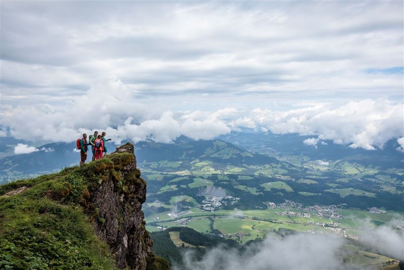
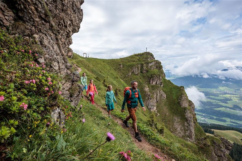
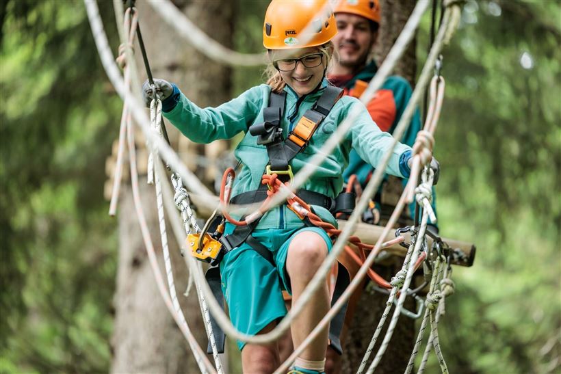
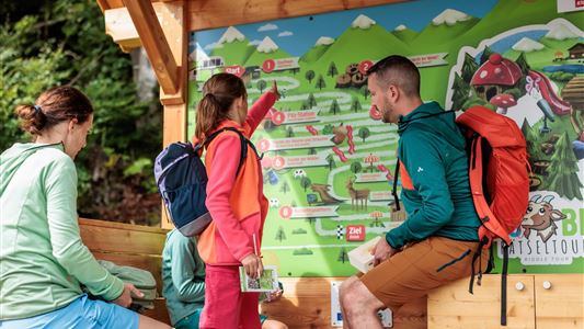
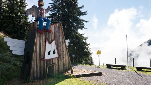
Today you get to choose from a huge selection of cool activities on the mountain: Will you visit the Alpine Flower Garden with the Kids Climbing Path on the summit of the Kitzbüheler Horn? That's also the highest point on the KAT Walk! Or would you prefer the Hornpark Tree

Read more ...

Recommended Equipment

Breathable outdoor clothing suitable for the weather, sturdy footwear, food (snacks, drinks),
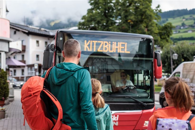
sun protection (sunglasses, sun cream & cap), rain protection, cash; guest card if using the bus

Features & Characteristics

Endurance

Skill Level

Starting Point

Kitzbühel - Valley Station Hornbahn

End Point

St. Johann in Tirol - Valley Station Harschbichlbahn

Family-friendly

Yes

Multiday hike

Yes

Map & Elevation Profile

Arrival

From the west via road no. B170 to Kitzbühel

From the north via road no. B161 to Kitzbühel

Similar Tour Suggestions

Vicinity:  Moor & more Törfchen-Runde

Easy

Hiking

Playground

Starting Point: St. Johann in Tirol - parking forest playground

End Point: St. Johann in Tirol - parking forest playground

4,30 km

01:15 h

97 hm

104 hm

818 m

Vicinity: 4th stage KAT Walk Family

Medium

Hiking

Attraction

Starting Point: St. Johann in Tirol - centre

End Point: Fieberbrunn

6,50 km

03:30 h

500 hm

370 hm

1200 m

Umgebung: Alpinolino Himmelsteig

Easy

Hiking

Attraction

Starting Point: Mountainstation Alpenrosenbahn Talkaser

End Point: Mountainstation Alpenrosenbahn Talkaser

2,10 km

01:00 h

100 hm

1887 m

Vicinity: 2nd stage KAT Walk Family

Medium

Hiking

Attraction

Starting Point: Brixen im Thale - centre

End Point: Kirchberg in Tirol - centre

13,50 km

07:00 h

961 hm

951 hm

1770 m

Vicinity: Sagenweg Waidring

Easy

Hiking

Attraction

+1

Starting Point: Hausberg car park Waidring

End Point: Hausberg car park Waidring

5,00 km

02:00 h

70 hm

Vicinity: Spoggolino

Easy

Hiking

Attraction

+1

Starting Point: Choralpe Westendorf

End Point: Bergstation Alpenrosenbahn

600 m

30 hm

1805 m

Vicinity: Alpine Outdoor Gallery & SchnacklerAdventure Trail

Easy

Hiking

Playground

Starting Point: Kirchdorf i.T. Wanderparkplatz Kaiserbachtal

End Point: Kirchdorf i.T. Wanderparkplatz Kaiserbachtal

3,40 km

01:00 h

117 hm

262 hm

860 m