Hiking

Easy

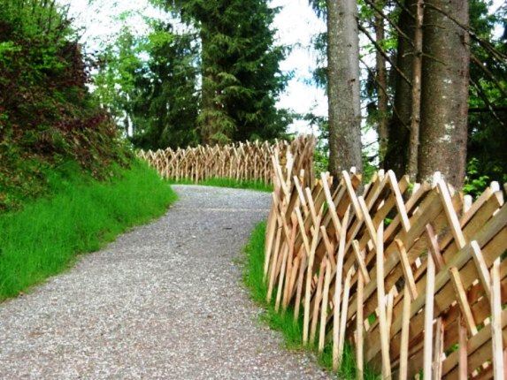
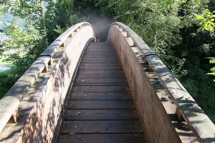
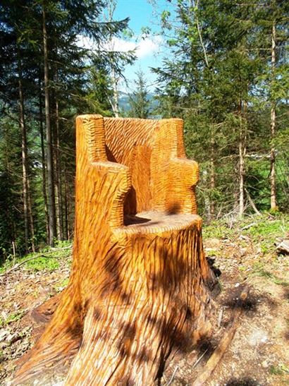
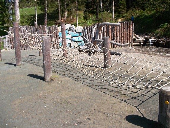
Vicinity: Wohlfühlweg (The Well-Being Trail)

Attraction

Playground

+4

3,60 km

01:30 h

130 hm

878 m

Best Time of Year

Jan

Feb

Mar

Apr

May

Jun

Jul

Aug

Sep

Oct

Nov

Dec

Information

Departing from the Tourist Information Office in Westendorf, we walk along Schulgasse and follow a meadow path to the district of Bichling.  At the junction at the Schermerhof, the trail takes us uphill to the right.  After a slight incline we branch off to the left after having passed several

Read more ...

Recommended Equipment

hiking shoes, weather protection, food, drink, first aid kit

Features & Characteristics

Endurance

Skill Level

Starting Point

Infobüro Westendorf

End Point

Infobüro Westendorf

Family-friendly

Yes

Stroller-friendly

Yes

Loop tour

Yes

Map & Elevation Profile

Arrival

Take the B170 from Wörgl or Kitzbühel as far as Westendorf.

Similar Tour Suggestions

Vicinity: Moor & more Törfchen Loop

Easy

Hiking

Playground

Starting Point: St. Johann in Tirol - parking forest playground or Törfchen

End Point: St. Johann in Tirol - parking forest playground or Törfchen

4,30 km

01:15 h

97 hm

104 hm

818 m

Bergbahnen Zahmer Kaiser - summer toboggan

Medium

Sledding

Attraction

Fun sport

+1

Starting Point: Talstation Zahmer Kaiser

End Point: Mittelstation Zahmer Kaiser

1,50 km

00:30 h

313 hm

Vicinity: Spoggolino

Easy

Hiking

Attraction

Playground

+1

Starting Point: Bergstation Alpenrosenbahn

End Point: Bergstation

600 m

30 hm

1805 m

Vicinity: Alpine Outdoor Gallery & SchnacklerAdventure Trail

Easy

Hiking

Playground

Starting Point: Kaiserbachtal Wanderparkplatz

End Point: Kaiserbachtal Wanderparkplatz

3,40 km

01:00 h

117 hm

262 hm

860 m

Vicinity: Sagenweg Waidring

Easy

Hiking

Attraction

Playground

+1

Starting Point: Hausberg car park Waidring

End Point: Hausberg car park Waidring

5,00 km

02:00 h

70 hm

Vicinity: Alpinolino  Holzwurmweg (The woodworm tour) !

Medium

Hiking

Attraction

Starting Point: Mittelstation Alpenrosenbahn Westendorf

End Point: Talstation Alpenrosenbahn Westendorf

3,70 km

01:30 h

487 hm

1314 m

Vicinity: Alpinolino’s “Climb to the Sky”

Easy

Hiking

Attraction

Starting Point: Talkaser

End Point: Talkaser

2,10 km

01:00 h

100 hm

1887 m

Vicinity: 1st stage KAT Walk Family

Medium

Hiking

Attraction

Starting Point: Valley Station Salvenbahn - Hopfgarten

End Point: Brixen im Thale - centre

10,00 km

05:30 h

700 hm

1050 hm

1829 m