Hiking

Easy

Vicinity: Alpine Outdoor Gallery & SchnacklerAdventure Trail

Playground

+2

3,40 km

01:00 h

117 hm

262 hm

860 m

Best Time of Year

Jan

Feb

Mar

Apr

May

Jun

Jul

Aug

Sep

Oct

Nov

Dec

Information

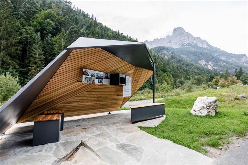
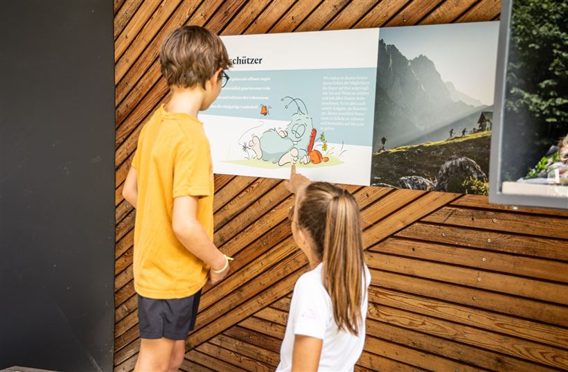
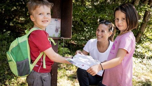
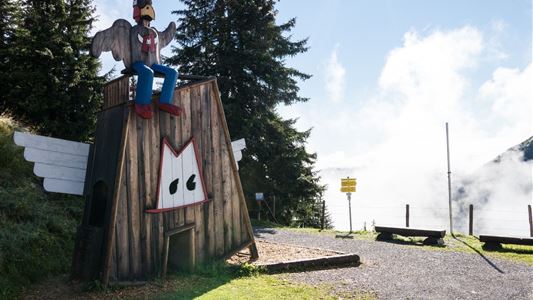
The educational nature trail Alpine Outdoor Gallery: The Kaiser Mountains and Kaiserbach valley have been a nature conservation area since 1963. On an area spanning approximately 93 km², the emphasis is on protecting the natural and cultural landscape. On site there is also an exhibition in the guise of the Alpine

Read more ...

Recommended Equipment

- outdoor clothing

- sturdy shoes

- Sufficient food and drinks

- First aid kit

- Mobile phone with full battery & charger

- Hiking map & guide literature

- GPS device or download the GPS data to your mobile phone if necessary

- Sun protection (sunglasses, sun cream, cap)

Read more ...

Features & Characteristics

Endurance

Starting Point

Kaiserbachtal Wanderparkplatz

End Point

Kaiserbachtal Wanderparkplatz

Family-friendly

Yes

Stroller-friendly

Yes

Map & Elevation Profile

Arrival

Coming from Kitzbühel/St Johann on the B161, drive towards Salzburg. In St. Johann, leave the second roundabout on Salzburger Straße at the second exit. Take the exit left to Kössen/Schwendt and drive slightly uphill on the B176. You will next pass the Kirchdorf district of Gasteig and shortly afterwards you

Read more ...

Similar Tour Suggestions

Vicinity: 4th stage KAT Walk Family

Medium

Hiking

Attraction

Starting Point: St. Johann in Tirol - centre

End Point: St. Ulrich am Pillersee - centre

6,50 km

03:30 h

500 hm

370 hm

1200 m

Vicinity: Sagenweg Waidring

Easy

Hiking

Attraction

Playground

+1

Starting Point: Hausberg car park Waidring

End Point: Hausberg car park Waidring

5,00 km

02:00 h

70 hm

Vicinity: 2nd stage KAT Walk Family

Medium

Hiking

Attraction

Starting Point: Brixen im Thale - centre

End Point: Kirchberg in Tirol - centre

13,50 km

07:00 h

961 hm

951 hm

1770 m

Vicinity: Moor & more Törfchen Loop

Easy

Hiking

Playground

Starting Point: St. Johann in Tirol - parking forest playground or Törfchen

End Point: St. Johann in Tirol - parking forest playground or Törfchen

4,30 km

01:15 h

97 hm

104 hm

818 m

Vicinity: Alpinolino  Holzwurmweg (The woodworm tour) !

Medium

Hiking

Attraction

Starting Point: Mittelstation Alpenrosenbahn Westendorf

End Point: Talstation Alpenrosenbahn Westendorf

3,70 km

01:30 h

487 hm

1314 m

Vicinity: Spoggolino

Easy

Hiking

Attraction

Playground

+1

Starting Point: Bergstation Alpenrosenbahn

End Point: Bergstation

600 m

30 hm

1805 m

Vicinity: 1st stage KAT Walk Family

Medium

Hiking

Attraction

Starting Point: Valley Station Salvenbahn - Hopfgarten

End Point: Brixen im Thale - centre

10,00 km

05:30 h

700 hm

1050 hm

1829 m