Hiking

Easy

Gasthaus Schöne Aussicht zur Wildbichlalm

Hiking tour

Family-friendly

2,10 km

01:15 h

107 hm

1094 m

Best Time of Year

Jan

Feb

Mar

Apr

May

Jun

Jul

Aug

Sep

Oct

Nov

Dec

Information

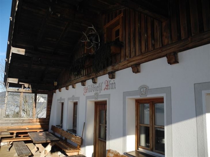
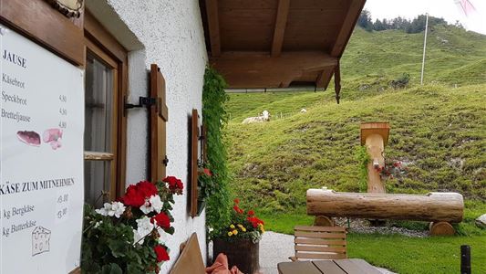
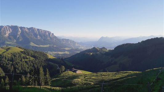
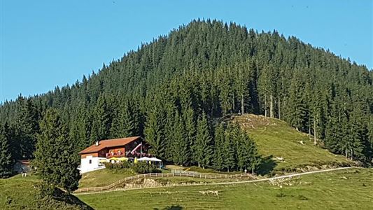
Just behind the Gasthaus Schöne Aussicht begins the steepest or most strenuous part of the short hike. If you have made the 100 Hohenmeter it goes almost in the plane over pasture and through forest areas to Wildbichlalm. From there you can enjoy an indescribably beautiful view of the Inn

Read more ...

Recommended Equipment

Breathable outdoor clothing suitable for the weather, sturdy footwear, food (snacks, drinks),
sun protection (sunglasses, sun cream & cap), rain protection, cash; guest card if using the bus

Features & Characteristics

Starting Point

Gasthaus Schöne Aussicht

End Point

Gasthaus Schöne Aussicht

Family-friendly

Yes

Map & Elevation Profile

Arrival

Best arrival by car via the B172 from Walchsee in the direction of Niederndorf. In the district Primau, Rettenschöss it is five kilometers along the municipal road, until you come to the public parking Feistenau. From there you start the hike.

Similar Tour Suggestions

Blaik - Peternhof - Kössen

Medium

Hiking

Hiking tour

Starting Point: Tourist Office Kössen

End Point: Tourist Office Kössen

8,00 km

02:30 h

240 hm

761 m

Premiumwanderweg Kugelwand - Harauspitze Nr.: 49,47

Medium

Hiking

Hiking tour

Thematic route

+1

Starting Point: Parking lot footballfield

End Point: Parking lot footballfield

6,50 km

04:00 h

475 hm

445 hm

1115 m

Kaiserwinklrunde

Medium

Hiking

Hiking tour

Starting Point: Tourist Office Kössen

End Point: Tourist Office Kössen

30,00 km

07:00 h

170 hm

701 m

Moosen - Peternhof

Easy

Hiking

Hiking tour

Starting Point: Village Center Kössen

End Point: Peternhof

3,10 km

01:30 h

306 hm

798 m

Josefstalrunde / Walchsee-Kössen

Medium

Hiking

Starting Point: Parish church Walchsee

End Point: Parish church Walchsee

5,60 km

02:00 h

220 hm

Stubenalm - Schnappen Nr. 72

Medium

Hiking

Hiking tour

Starting Point: Hohenkendel Schwendt

End Point: Schnappen

7,80 km

04:30 h

935 hm

135 hm

1469 m

Um den Ramsbach

Easy

Hiking

Hiking tour

Starting Point: Tourist Office Walchsee

End Point: Tourist Office Walchsee

2,80 km

01:00 h

35 hm

694 m

Rettenschöss Feistenau - in Richtung Wandberg

Easy

Hiking

Hiking tour

Starting Point: Gasthaus Schöne Aussicht in Rettenschöss

End Point: Gasthaus Schöne Aussicht in Rettenschöss

9,00 km

03:30 h

353 hm

1326 m