Hiking

Medium

Kaiserwinklrunde

Hiking tour

Family-friendly

+2

30,00 km

07:00 h

170 hm

701 m

Best Time of Year

Jan

Feb

Mar

Apr

May

Jun

Jul

Aug

Sep

Oct

Nov

Dec

Information

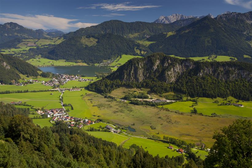
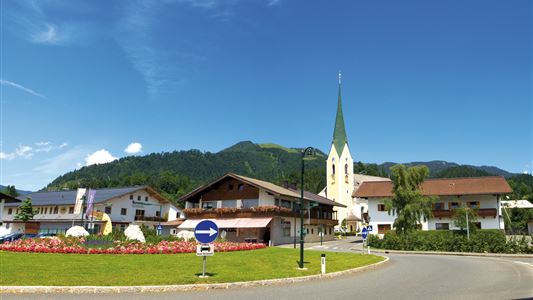
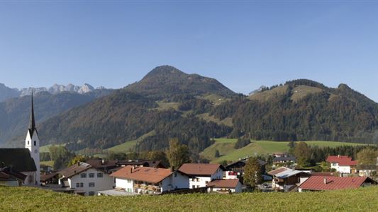
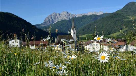
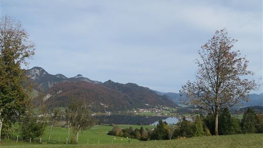
The Kaiserwinklrunde is of the length, athletic attractiveness and scenic beauty probably the most charming and interesting hiking trail in the Kaiserwinkl region. It connects the four Kaisewinkl villages. From the tourist information in Kössen on the path along the Ache to Hüttwirt. From there take way no. 65/66 to

Read more ...

Recommended Equipment

Breathable outdoor clothing suitable for the weather, sturdy footwear, food (snacks, drinks),
sun protection (sunglasses, sun cream & cap), rain protection, cash; guest card if using the bus

Features & Characteristics

Endurance

Skill Level

Huts & Alpine Pastures

Starting Point

Tourist Office Kössen

End Point

Tourist Office Kössen

Family-friendly

Yes

Stroller-friendly

Yes

Loop tour

Yes

Map & Elevation Profile

Arrival

By car to the village center of Kössen, to the information office.

Similar Tour Suggestions

Achendammrunde - Transformationen

Easy

Hiking

Hiking tour

Starting Point: Tourist Office Kössen

End Point: Tourist Office Kössen

4,90 km

01:15 h

4 hm

590 m

Glasalm

Easy

Hiking

Hiking tour

Starting Point: Staffenbrücke Kössen

End Point: Staffenbrücke Kössen

7,50 km

02:00 h

260 hm

279 hm

806 m

Kössen - Unterberg - Lackalm - Nr. 26, 70

Hard

Hiking

Hiking tour

Starting Point: Unterberg Valleystation

End Point: Lackalm

17,60 km

07:00 h

1325 hm

1336 hm

1749 m

Stubenalm

Easy

Hiking

Hiking tour

Starting Point: Hohenkendel Schwendt

End Point: Stubenalm

4,00 km

03:00 h

379 hm

135 hm

1032 m

Schwendt - Bichlach - Nr. 61a

Easy

Hiking

Winter walking

Hiking tour

Starting Point: Schwendt Village Center

End Point: Riedlwirt

3,50 km

01:00 h

30 hm

710 m

Um den Ramsbach

Easy

Hiking

Hiking tour

Starting Point: Tourist Office Walchsee

End Point: Tourist Office Walchsee

2,80 km

01:00 h

35 hm

694 m

 Karspitze - Wandberg Rundwanderung

Medium

Hiking

Hiking tour

Starting Point: Gasthaus Schöne Aussicht in Rettenschöss

End Point: Gasthaus Schöne Aussicht in Rettenschöss

11,00 km

05:00 h

594 hm

592 hm

Lippenalm

Medium

Hiking

Hiking tour

Starting Point: Centre Walchsee

End Point: Lippenalm

4,40 km

01:30 h

310 hm

939 m