Hiking

Village Loop - Kössen - Nr. 14

Family-friendly

+2

3,90 km

01:00 h

594 m

Best Time of Year

Jan

Feb

Mar

Apr

May

Jun

Jul

Aug

Sep

Oct

Nov

Dec

Information

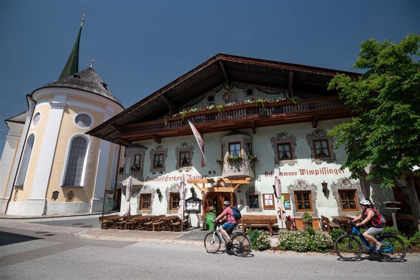
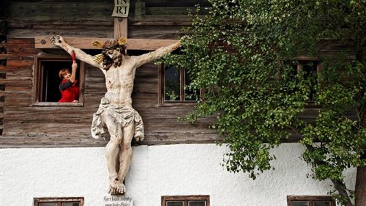
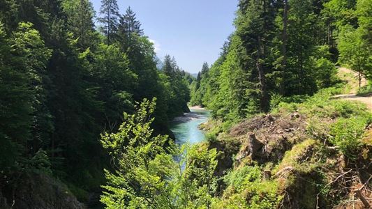
From the starting point at the traffic circle in the center of Kössen, the trail leads along the Mühlbachweg to the Staffenbrücke bridge. From there the path leads over the Kohlsteg for about 2 kilometers along the banks of the Ache to the Hüttwirtsbrücke. Along the way, the sculptures of

Read more ...

Recommended Equipment

Breathable outdoor clothing suitable for the weather, sturdy footwear, food (snacks, drinks),
sun protection (sunglasses, sun cream & cap), rain protection, cash; guest card if using the bus

Features & Characteristics

Starting Point

Starting point roundabout in Kössen

End Point

Ending point roundabout in Kössen

Family-friendly

Yes

Stroller-friendly

Yes

Loop tour

Yes

Map & Elevation Profile

Arrival

Head towards Kössen to the Event Center and Kaiserwinkl Tourist Information Office (Postweg 6, 6345 Kössen)

Similar Tour Suggestions

Premium hike Quellenweg Schwendt - Nr. 61, 64

Hiking

Hiking tour

+1

Starting Point: Parking lot near the Kaiserwinkl fish ponds

End Point: Parking Lot Dankl, Kohlental, Schwendt

3,10 km

01:00 h

21 hm

14 hm

675 m

Priener Hütte - Karkopf - Nr. 47, 56, 87

Medium

Hiking

Hiking tour

Starting Point: Tourist Office Walchsee

End Point: Tourist Office Walchsee

18,20 km

06:00 h

1118 hm

1093 hm

1451 m

Berggasthof Zahmer Kaiser - Aschingeralm - Nr. 45, 49

Medium

Hiking

Hiking tour

Starting Point: Under the Church in Walchsee

End Point: Parking Lot Liftstation Zahmer Kaiser

9,30 km

02:30 h

415 hm

376 hm

1005 m

Kleine Schwendterrunde - Nr. 61,63

Easy

Hiking

Hiking tour

Starting Point: Tourist Office Schwendt

End Point: Tourist Office Schwendt

4,90 km

01:00 h

131 hm

Dorfrunde Rettenschöss - Nr. 39

Easy

Hiking

Starting Point: Municipal office Rettenschöss

End Point: Municipal office Rettenschöss

5,60 km

01:30 h

116 hm

667 m

Seerundweg - Nr. 38

Easy

Hiking

Winter walking

Hiking tour

Starting Point: Tourist Office Walchsee

End Point: Tourist Office Walchsee

5,50 km

01:30 h

30 hm

Lippenalm- Ebersberg - Gwirchtalm

Medium

Hiking

Hiking tour

Starting Point: Parking lot Tennishalle Walchsee or Parking lot Lippenalm

End Point: Parking lot Tennishalle Walchsee or Parking lot Lippenalm

11,00 km

04:30 h

487 hm

1140 m

Glasalm - Nr. 24, 19

Easy

Hiking

Hiking tour

Starting Point: Staffenbrücke Kössen

End Point: Staffenbrücke Kössen

7,50 km

02:00 h

260 hm

279 hm

806 m