Hiking

Hard

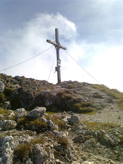
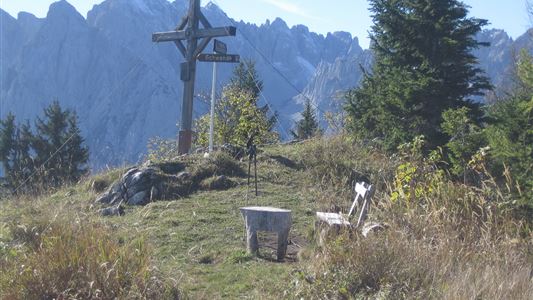
Pyramidenspitze - Vorderkaiserfelden Nr. 90,91,95,811,49

Hiking tour

Loop tour

17,60 km

09:00 h

1665 hm

1999 m

Best Time of Year

Jan

Feb

Mar

Apr

May

Jun

Jul

Aug

Sep

Oct

Nov

Dec

Information

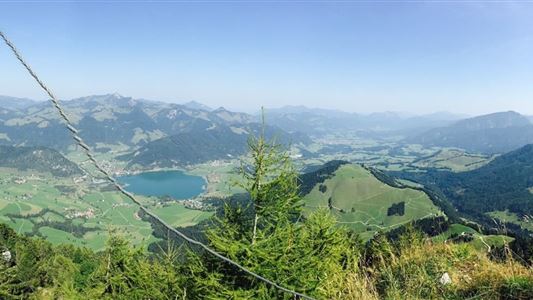
From Walchsee / Durchholzen along the Achentaler Bach over Kotlacken and Großpointeralm to first crossroads with bench. Here we branch off to the left, pass the Winkelalm and climb into the Winkelkar up to the rocks. This is where the via ferrata (B and 1-), partially secured by wire ropes,

Read more ...

Recommended Equipment

Breathable outdoor clothing suitable for the weather, sturdy footwear, food (snacks, drinks),
sun protection (sunglasses, sun cream & cap), rain protection, cash; guest card if using the bus

Features & Characteristics

Endurance

Skill Level

Starting Point

Parking lot Hochberg Durchholzen

End Point

Parking lot Hochberg Durchholzen

Loop tour

Yes

Map & Elevation Profile

Arrival

Coming by car from Walchsee, drive to the Zahmer Kaiser cable car, which is on the left-hand side.

Similar Tour Suggestions

Leitwang - Nr. 12, 13, 67, 65

Easy

Hiking

Hiking tour

6,70 km

02:00 h

92 hm

93 hm

670 m

Edernalm - Rudersburg

Hard

Hiking

Hiking tour

Starting Point: Parking lot Steinbauer

End Point: Parking lot Steinbauer

13,30 km

04:30 h

911 hm

882 hm

1431 m

Schwendt - Aschentalrunde

Medium

Hiking

Winter walking

Hiking tour

Starting Point: Tourist Office Schwendt

End Point: Tourist Office Schwendt

2,30 km

01:00 h

72 hm

Village Loop - Kössen - Nr. 14

Hiking

Starting Point: Starting point roundabout in Kössen

End Point: Ending point roundabout in Kössen

3,90 km

01:00 h

594 m

Schwendt - Bichlach - Nr. 61a

Easy

Hiking

Winter walking

Hiking tour

Starting Point: Schwendt Village Center

End Point: Riedlwirt

3,50 km

01:00 h

30 hm

710 m

Große Schwendterrunde

Easy

Hiking

Hiking tour

9,50 km

02:00 h

93 hm

138 hm

Schwendt - Kohlalm

Medium

Hiking

Hiking tour

Starting Point: Parking lot Kohlalm

End Point: Kohlalm

5,40 km

02:00 h

590 hm

1255 m

Kössen - Bichlach - Walchsee

Easy

Hiking

Hiking tour

Starting Point: Tourist Office Kössen

End Point: Tourist Office Walchsee

10,00 km

02:30 h

184 hm

112 hm

699 m