Hiking

Easy

Kohlentalrunde - Schwendt - Nr. 61

Family-friendly

+1

5,50 km

01:30 h

82 hm

Best Time of Year

Jan

Feb

Mar

Apr

May

Jun

Jul

Aug

Sep

Oct

Nov

Dec

Information

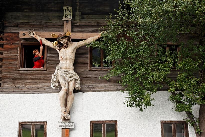
The starting point is the church in the center of Schwendt or the Schwendterwirt, where you can park. To the left of the Mairwirt it goes down into Kohlental, past the farms Mühlau. The path leads along the Kohlbach, past the natural monument Enzianwiese to the Stegerbauer. Before returning to

Read more ...

Recommended Equipment

Breathable outdoor clothing suitable for the weather, sturdy footwear, food (snacks, drinks),
sun protection (sunglasses, sun cream & cap), rain protection, cash; guest card if using the bus

Features & Characteristics

Endurance

Starting Point

Town hall Schwendt

End Point

Town hall Schwendt

Family-friendly

Yes

Loop tour

Yes

Map & Elevation Profile

Arrival

Coming from Kössen to the village centre of Schwendt

Similar Tour Suggestions

Um den Ramsbach

Easy

Hiking

Hiking tour

Starting Point: Tourist Office Walchsee

End Point: Tourist Office Walchsee

2,80 km

01:00 h

35 hm

694 m

Schöne Aussicht- Wildbichlam - Wandberg

Medium

Hiking

Hiking tour

Starting Point: Parking lot Faistenau

End Point: Parking lot Faistenau

12,60 km

05:30 h

686 hm

1440 m

Taubensee

Medium

Hiking

Hiking tour

Starting Point: Information Office Kössen

End Point: Information Office Kössen

13,00 km

05:00 h

620 hm

1172 m

Ottenalm - Harauspitze

Medium

Hiking

Hiking tour

Starting Point: Football field parking lot

End Point: Football field parking lot

6,50 km

04:00 h

475 hm

445 hm

1115 m

Lucknerhof

Medium

Hiking

Winter walking

Hiking tour

Starting Point: Sports field Kössen

End Point: Sports field Kössen

9,80 km

03:00 h

292 hm

175 hm

720 m

Kaiserbachtal - Feldberg - Stripsenjoch

Medium

Hiking

Hiking tour

Starting Point: Kirchdorf - Parking Kaiserbachtal

End Point: Kirchdorf - Parking Kaiserbachtal

21,00 km

09:00 h

1170 hm

1180 hm

1800 m

Brennkopf

Medium

Hiking

Hiking tour

Starting Point: Schwemmturm Walchsee

End Point: Schwemmturm Walchsee

8,60 km

04:00 h

738 hm

1330 m

Achendammrunde - Transformationen

Easy

Hiking

Hiking tour

Starting Point: Tourist Office Kössen

End Point: Tourist Office Kössen

4,90 km

01:15 h

4 hm

590 m