Hiking

Medium

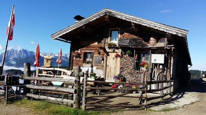
Naringalm

Hiking tour

Loop tour

12,40 km

04:00 h

591 hm

592 hm

1178 m

Best Time of Year

Jan

Feb

Mar

Apr

May

Jun

Jul

Aug

Sep

Oct

Nov

Dec

Information

From the village center at the dairy in the Mühlbachweg turn. Through the pedestrian underpass over the Staffenbrücke. Now right on the way Staffen up to the farms "Kronbichl" and "Waltl". Right up the forest road to the Naringalm. Then continue on the forest road to Notheggeralm and over the

Read more ...

Recommended Equipment

Breathable outdoor clothing suitable for the weather, sturdy footwear, food (snacks, drinks),
sun protection (sunglasses, sun cream & cap), rain protection, cash; guest card if using the bus

Features & Characteristics

Loop tour

Yes

Map & Elevation Profile

Arrival

By car to the village centre of Kössen, then towards the district Staffen.

Similar Tour Suggestions

Kleine Schwendterrunde

Easy

Hiking

Hiking tour

Starting Point: Tourist Office Schwendt

End Point: Tourist Office Schwendt

4,90 km

01:00 h

131 hm

Kohlalm - Feldberg

Medium

Hiking

Hiking tour

Starting Point: Parking lot Kohlalm

End Point: Feldberg

8,17 km

03:00 h

627 hm

1809 m

Schwemmrunde

Easy

Hiking

Hiking tour

Starting Point: Tourist Office Walchsee

End Point: Tourist Office Walchsee

6,50 km

01:30 h

50 hm

Wildbichlalm - Nr. 14

Easy

Hiking

Hiking tour

Starting Point: Ritzgraben car park - Rettenschöss

End Point: Ritzgraben car park - Rettenschöss

5,00 km

02:00 h

330 hm

1040 m

Hard

Hiking

Hiking tour

Starting Point: Parking lot Staffen

End Point: Parking lot Staffen

11,25 km

05:00 h

1259 hm

1262 hm

1393 m

Village Loop - Kössen - Nr. 14

Hiking

Starting Point: Starting point roundabout in Kössen

End Point: Ending point roundabout in Kössen

3,90 km

01:00 h

594 m

Priener Hütte - Karkopf - Nr. 47, 56, 87

Medium

Hiking

Hiking tour

Starting Point: Tourist Office Walchsee

End Point: Tourist Office Walchsee

18,20 km

06:00 h

1118 hm

1093 hm

1451 m

Hochbergrunde - Walchsee

Easy

Hiking

Hiking tour

Starting Point: Parkplatz Liftanlagen Zahmer Kaiser

End Point: Parkplatz Liftanlagen Zahmer Kaiser

5,80 km

01:45 h

123 hm