Hiking

Medium

Lochner Wasserfall - Burgeralm - Wandberg

Hiking tour

+1

13,80 km

06:00 h

974 hm

1408 m

Best Time of Year

Jan

Feb

Mar

Apr

May

Jun

Jul

Aug

Sep

Oct

Nov

Dec

Information

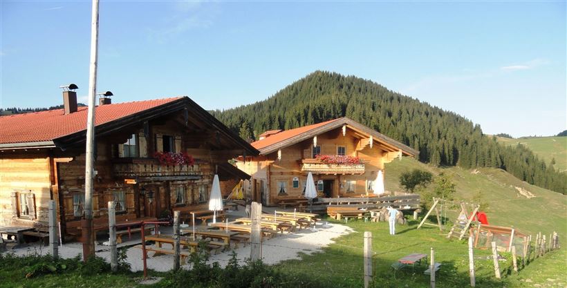
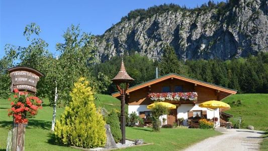
Along Lochner waterfall to Alm and cheese dairy Burgeralm
Start in the center of Walchsee and turn into the Hausbergstraße to Oberwinkl.
Pass the football field, then keep left and before the bridge turn right following signs for Wandberghütte and Burgeralm. At the Lochner waterfall you cross the bridge and go to

Read more ...

Recommended Equipment

Breathable outdoor clothing suitable for the weather, sturdy footwear, food (snacks, drinks),
sun protection (sunglasses, sun cream & cap), rain protection, cash; guest card if using the bus

Features & Characteristics

Starting Point

Tourist Office Walchsee

End Point

Tourist Office Walchsee

Loop tour

Yes

Map & Elevation Profile

Arrival

By car to the village center of Walchsee.

Similar Tour Suggestions

Breitenstein

Medium

Hiking

Hiking tour

Starting Point: Tourist Office Walchsee

End Point: Tourist Office Walchsee

9,50 km

07:00 h

1224 hm

235 hm

1649 m

Scheibenkogel

Medium

Hiking

Hiking tour

Starting Point: Tourist Office Schwendt

End Point: Mountaintop Scheibenkogel

6,80 km

06:30 h

959 hm

1579 m

Schöne Aussicht- Wildbichlam - Wandberg

Medium

Hiking

Hiking tour

Starting Point: Parking lot Faistenau

End Point: Parking lot Faistenau

12,60 km

05:30 h

686 hm

1440 m

Schwendt - Aschentalrunde

Medium

Hiking

Winter walking

Hiking tour

Starting Point: Tourist Office Schwendt

End Point: Tourist Office Schwendt

2,30 km

01:00 h

72 hm

Rettenschöss Feistenau - in Richtung Wandberg

Easy

Hiking

Hiking tour

Starting Point: Gasthaus Schöne Aussicht in Rettenschöss

End Point: Gasthaus Schöne Aussicht in Rettenschöss

9,00 km

03:30 h

353 hm

1326 m

Kohlalm - Feldberg

Medium

Hiking

Hiking tour

Starting Point: Parking lot Kohlalm

End Point: Feldberg

8,17 km

03:00 h

627 hm

1809 m

Moosen - Peternhof

Easy

Hiking

Hiking tour

Starting Point: Village Center Kössen

End Point: Peternhof

3,10 km

01:30 h

306 hm

798 m

Bichlach - Nr. 16, 11

Easy

Hiking

Hiking tour

Starting Point: Sports field Kössen

End Point: Sports field Kössen

6,00 km

01:30 h

66 hm

629 m