Hiking

Easy

Kaiserbachtal

Hiking tour

10,10 km

03:15 h

256 hm

263 hm

992 m

Best Time of Year

Jan

Feb

Mar

Apr

May

Jun

Jul

Aug

Sep

Oct

Nov

Dec

Information

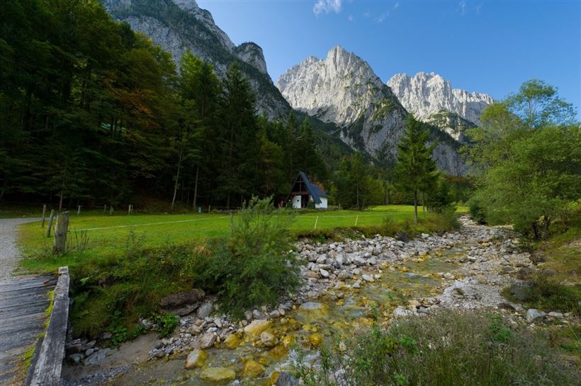
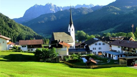
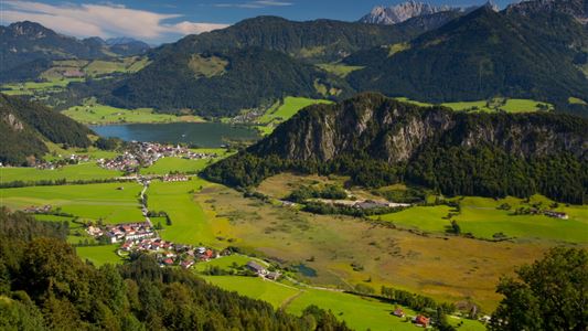
The unspoiled Kaiserbachtal Valley and the jagged Wilder Kaiser Mountains have been attracting hikers, mountaineers and nature lovers for centuries. In the summer the small side valley, which is part of the Kaisergebirge Nature Preserve, serves as base for countless hiking and rock climbing tours. The impressive mountain range is

Read more ...

Recommended Equipment

Breathable outdoor clothing suitable for the weather, sturdy footwear, food (snacks, drinks),
sun protection (sunglasses, sun cream & cap), rain protection, cash; guest card if using the bus

Features & Characteristics

Endurance

Starting Point

Kirchdorf i.T. hiking parking lot Kaiserbachtal

End Point

Kirchdorf i.T. hiking parking lot Kaiserbachtal

Map & Elevation Profile

Arrival

Coming from Kitzbühel/St Johann on the B161, drive towards Salzburg. In St. Johann, leave the second roundabout on Salzburger Straße at the second exit. Take the exit left to Kössen/Schwendt and drive slightly uphill on the B176. You will next pass the Kirchdorf district of Gasteig and shortly afterwards you

Read more ...

Similar Tour Suggestions

Gasthaus Schöne Aussicht zur Wildbichlalm - Nr. 42

Easy

Hiking

Hiking tour

Starting Point: Gasthaus Schöne Aussicht

End Point: Gasthaus Schöne Aussicht

2,10 km

01:15 h

107 hm

1094 m

Hochalm - Heuberg - Nr. 88, 89

Medium

Hiking

Hiking tour

Starting Point: Parking lot Hochberg

End Point: Parking lot Hochberg

15,80 km

06:30 h

1252 hm

1247 hm

1603 m

Partially Open
Kössen - Unterberg - Lackalm - Nr. 26, 70

Hard

Hiking

Hiking tour

Starting Point: Unterberg Valleystation

End Point: Lackalm

17,60 km

07:00 h

1325 hm

1336 hm

1749 m

Hausberg - Haraualm - Josefstal - Nr. 49, 48, 40

Medium

Hiking

Hiking tour

Starting Point: Centre Walchsee

End Point: Centre Walchsee

9,20 km

04:00 h

912 hm

1035 m

Lochner Wasserfall - Burgeralm - Wandberg - Nr. 55B, 44, 54

Medium

Hiking

Hiking tour

Starting Point: Tourist Office Walchsee

End Point: Tourist Office Walchsee

13,80 km

06:00 h

974 hm

1408 m

Schwemmrunde - Nr. 35

Easy

Hiking

Hiking tour

Starting Point: Tourist Office Walchsee

End Point: Tourist Office Walchsee

6,50 km

01:30 h

50 hm

Kaiserwinklrunde - Nr. 62, 65, 66, 11, 38, 35, 13

Medium

Hiking

Hiking tour

Starting Point: Tourist Office Kössen

End Point: Tourist Office Kössen

30,00 km

07:00 h

170 hm

701 m

Stubenalm - Schnappen Nr. 72

Medium

Hiking

Hiking tour

Starting Point: Hohenkendel Schwendt

End Point: Schnappen

7,80 km

04:30 h

935 hm

135 hm

1469 m