Hiking

Medium

Kaiserwinkl Runde

Winter walking

Family-friendly

+2

30,00 km

07:00 h

170 hm

701 m

Information

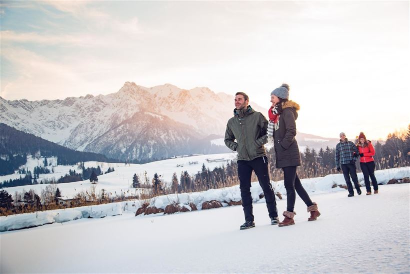
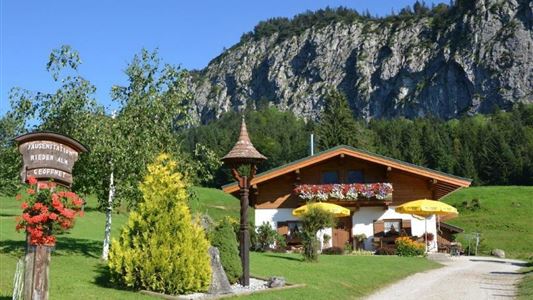
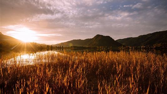
The Kaiserwinklrunde is of the length, athletic attractiveness and scenic beauty probably the most charming and interesting hiking trail in the Kaiserwinkl region. It connects the four Kaisewinkl villages. From the tourist information in Kössen on the path along the Ache to Hüttwirt. From there take way no. 65/66 to

Read more ...

Features & Characteristics

Starting Point

Walchsee Dorfzentrum

End Point

Kössen Dorfzentrum

Family-friendly

Yes

Stroller-friendly

Yes

Loop tour

Yes

Map & Elevation Profile

Arrival

By car to the information office in Kössen.

Similar Tour Suggestions

Walchsee - Heuberg

Medium

Hiking

Snowshoe hiking

Starting Point: Parkplatz Hochberg

End Point: Heuberg

7,50 km

05:00 h

820 hm

1565 m

Edernalm

Medium

Hiking

Winter walking

Starting Point: Gasthof Staffen

End Point: Edernalm

6,50 km

03:00 h

315 hm

909 m

Jausenstation Mühlberghof

Easy

Hiking

Winter walking

Hiking tour

+1

Starting Point: Infobüro Kössen

End Point: Jausenstation Mühlbergalm

2,60 km

02:00 h

223 hm

804 m

Hochberg Circuit

Easy

Hiking

Winter walking

Starting Point: Dorfzentrum

End Point: Dorfzentrum

7,60 km

02:30 h

190 hm

804 m

Mühlbergalm to the Taubensee

Medium

Hiking

Winter walking

Starting Point: Dorfzentrum Walchsee

End Point: Taubenseehütte

5,30 km

04:00 h

620 hm

1172 m

Rettenschöss - Wildbichlalm

Medium

Hiking

Winter walking

Hiking tour

+1

Starting Point: Rettenschöss

End Point: Wildbichlalm

7,00 km

02:30 h

370 hm

155 hm

1018 m

Schwendt - Kohlalm

Medium

Hiking

Snowshoe hiking

Starting Point: Parkplatz Kohlalm

End Point: Kohlalm

5,40 km

03:30 h

590 hm

1255 m

Lucknerhof

Medium

Hiking

Winter walking

Hiking tour

Starting Point: Sportplatz Kössen

End Point: Sportplatz Kössen

9,80 km

03:00 h

292 hm

175 hm

720 m