Hiking

Easy

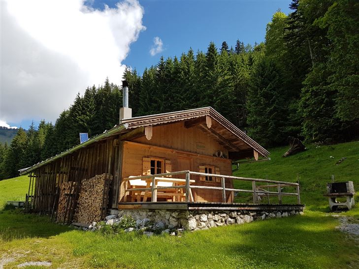
Glasalm - Nr. 24, 19

Hiking tour

Loop tour

7,50 km

02:00 h

260 hm

279 hm

806 m

Best Time of Year

Jan

Feb

Mar

Apr

May

Jun

Jul

Aug

Sep

Oct

Nov

Dec

Information

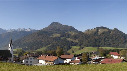
Start is in Kössen at the parking Steinbauer near the Staffenbrücke, along the Achendamm through the underpass and right at the Annakapelle over to the district Außerkapelle or the main road to Walchsee. About 300 m after the Hotel Alpina, turn right to Landhaus Dax. Through forest and alpine terrain

Read more ...

Recommended Equipment

Breathable outdoor clothing suitable for the weather, sturdy footwear, food (snacks, drinks),
sun protection (sunglasses, sun cream & cap), rain protection, cash; guest card if using the bus

Features & Characteristics

Endurance

Skill Level

Huts & Alpine Pastures

Starting Point

Staffenbrücke Kössen

End Point

Staffenbrücke Kössen

Loop tour

Yes

Map & Elevation Profile

Arrival

By car to the village center of Kössen or to the district of Staffen.

Similar Tour Suggestions

Josefstalrunde / Walchsee-Kössen

Medium

Hiking

Starting Point: Parish church Walchsee

End Point: Parish church Walchsee

5,60 km

02:00 h

220 hm

Große Schwendterrunde - 61,64

Easy

Hiking

Hiking tour

9,50 km

02:00 h

93 hm

138 hm

Naringalm

Medium

Hiking

Hiking tour

12,40 km

04:00 h

591 hm

592 hm

1178 m

Lucknerhof - Nr 62

Medium

Hiking

Winter walking

Hiking tour

Starting Point: Sports field Kössen

End Point: Sports field Kössen

9,80 km

03:00 h

292 hm

175 hm

720 m

Kohlalm - Feldberg - Nr. 74

Medium

Hiking

Hiking tour

Starting Point: Parking lot Kohlalm

End Point: Feldberg

8,10 km

06:30 h

1195 hm

111 hm

1771 m

Scheibenkogel

Medium

Hiking

Hiking tour

Starting Point: Tourist Office Schwendt

End Point: Mountaintop Scheibenkogel

6,80 km

06:30 h

959 hm

1579 m

Partially Open
Schöne Aussicht- Wildbichlam - Wandberg

Medium

Hiking

Hiking tour

Starting Point: Parking lot Faistenau

End Point: Parking lot Faistenau

12,60 km

05:30 h

686 hm

1440 m

Rettenschöss Feistenau - in Richtung Wandberg

Easy

Hiking

Hiking tour

Starting Point: Gasthaus Schöne Aussicht in Rettenschöss

End Point: Gasthaus Schöne Aussicht in Rettenschöss

9,00 km

03:30 h

353 hm

1326 m