Hiking

Medium

Schöne Aussicht- Wildbichlam - Wandberg

Hiking tour

Family-friendly

+1

12,60 km

05:30 h

686 hm

1440 m

Best Time of Year

Jan

Feb

Mar

Apr

May

Jun

Jul

Aug

Sep

Oct

Nov

Dec

Information

 
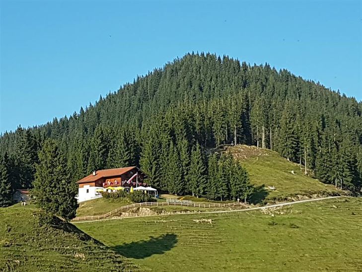
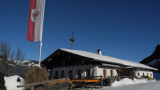
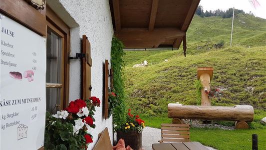
Start: at the hiking car park Faistenau in Rettenschöss (free with Kaiserwinkl Card) Pass the Gasthof Schöne Aussicht and then immediately follow the signposted hiking trail to Wildbichlalm (open for refreshments). From the Wildbichlalm along the forest road to the Karkpof with summit cross. Walk the same way back and

Read more ...

Recommended Equipment

Breathable outdoor clothing suitable for the weather, sturdy footwear, food (snacks, drinks),
sun protection (sunglasses, sun cream & cap), rain protection, cash; guest card if using the bus

Features & Characteristics

Starting Point

Parking lot Faistenau

End Point

Parking lot Faistenau

Family-friendly

Yes

Loop tour

Yes

Map & Elevation Profile

Arrival

By car to Rettenschöss to the parking lot Feistenau

Similar Tour Suggestions

Rettenschöss - Wildbichlalm

Medium

Hiking

Winter walking

Hiking tour

+1

Starting Point: Parking lot Wildbichl

End Point: Wildbichlalm

7,00 km

02:30 h

370 hm

155 hm

1018 m

Lucknerhof

Medium

Hiking

Winter walking

Hiking tour

Starting Point: Sports field Kössen

End Point: Sports field Kössen

9,80 km

03:00 h

292 hm

175 hm

720 m

Brennkopf

Medium

Hiking

Hiking tour

Starting Point: Schwemmturm Walchsee

End Point: Schwemmturm Walchsee

8,60 km

04:00 h

738 hm

1330 m

Lochner Wasserfall - Burgeralm - Wandberg

Medium

Hiking

Hiking tour

Starting Point: Tourist Office Walchsee

End Point: Tourist Office Walchsee

13,80 km

06:00 h

974 hm

1408 m

 Karspitze - Wandberg Rundwanderung

Medium

Hiking

Hiking tour

Starting Point: Gasthaus Schöne Aussicht in Rettenschöss

End Point: Gasthaus Schöne Aussicht in Rettenschöss

11,00 km

05:00 h

594 hm

592 hm

Schwendt-E-Werk-Schwendt - Nr. 65, 56, 12, 61

Easy

Hiking

Hiking tour

Starting Point: Tourist Office Schwendt

End Point: Tourist Office Schwendt

8,10 km

02:00 h

181 hm

Kugelwandrunde

Medium

Hiking

Hiking tour

4,10 km

02:00 h

222 hm

217 hm

881 m

Kaiserbachtal - Feldberg - Stripsenjoch

Medium

Hiking

Hiking tour

Starting Point: Kirchdorf - Parking Kaiserbachtal

End Point: Kirchdorf - Parking Kaiserbachtal

21,00 km

09:00 h

1170 hm

1180 hm

1800 m