Hiking

Easy

Dorfrunde - Schwendt - Nr. 63

Family-friendly

+1

1,80 km

00:40 h

50 hm

752 m

Best Time of Year

Jan

Feb

Mar

Apr

May

Jun

Jul

Aug

Sep

Oct

Nov

Dec

Information

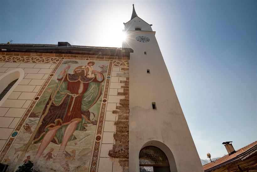
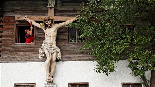
From the historic village center at the church in Schwendt, the hiking trail leads via Roiten in the direction of Schwabenbühel and further to the left to the hamlet of Schlecht. After a short detour to the Hackerkreuz, the trail descends to the Straßpointhof until it reaches the beautiful Hofkapelle.

Read more ...

Recommended Equipment

Breathable outdoor clothing suitable for the weather, sturdy footwear, food (snacks, drinks),
sun protection (sunglasses, sun cream & cap), rain protection, cash; guest card if using the bus

Features & Characteristics

Starting Point

Municipal office of Schwendt

End Point

Municipal office of Schwendt

Family-friendly

Yes

Loop tour

Yes

Map & Elevation Profile

Arrival

By car from Kössen to the village centre of Schwendt.

Similar Tour Suggestions

Walchsee - Ottenalm - Edernalm - Kössen - Nr. 47, 25, 24

Easy

Hiking

Hiking tour

Starting Point: Tourist Office Walchsee

End Point: Tourist Office Kössen

8,70 km

03:00 h

401 hm

466 hm

1002 m

Schwendt-E-Werk-Schwendt - Nr. 65, 56, 12, 61

Easy

Hiking

Hiking tour

Starting Point: Tourist Office Schwendt

End Point: Tourist Office Schwendt

8,10 km

02:00 h

181 hm

Kössen - Unterberghorn

Hard

Hiking

Hiking tour

Starting Point: Parkplatz Unterbergbahn

End Point: Unterberg Gipfelkreuz

8,60 km

04:00 h

1294 hm

168 hm

1751 m

Edernalm

Easy

Hiking

Hiking tour

3,20 km

01:00 h

337 hm

918 m

Seerundweg - Nr. 38

Easy

Hiking

Winter walking

Hiking tour

Starting Point: Tourist Office Walchsee

End Point: Tourist Office Walchsee

5,50 km

01:30 h

30 hm

 Karspitze - Wandberg Rundwanderung

Medium

Hiking

Hiking tour

Starting Point: Gasthaus Schöne Aussicht in Rettenschöss

End Point: Gasthaus Schöne Aussicht in Rettenschöss

11,00 km

05:00 h

594 hm

592 hm

Schwendt - Aschentalrunde

Medium

Hiking

Winter walking

Hiking tour

Starting Point: Tourist Office Schwendt

End Point: Tourist Office Schwendt

2,30 km

01:00 h

72 hm

Hochschanz / Kalvarienberg - Kössen - Nr. 21,2

Easy

Hiking

Starting Point: 92

End Point: Pfarrkirche Walchsee

2,40 km

02:30 h

96 hm

92 m