Hiking

Medium

Brennkopf

Hiking tour

Family-friendly

+1

8,60 km

04:00 h

738 hm

1330 m

Best Time of Year

Jan

Feb

Mar

Apr

May

Jun

Jul

Aug

Sep

Oct

Nov

Dec

Information

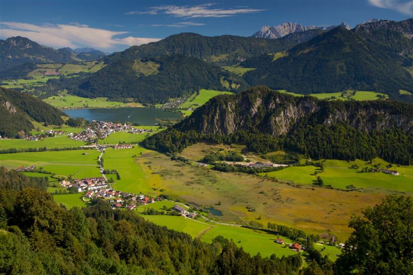
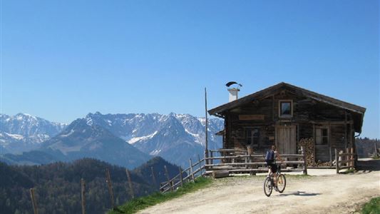
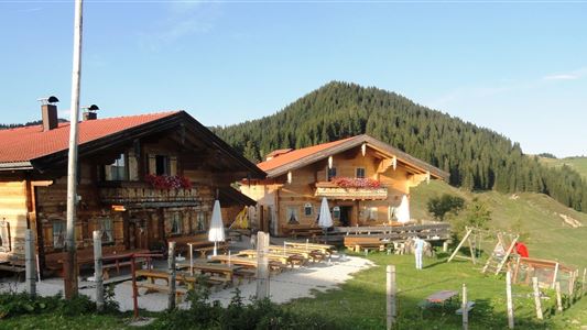
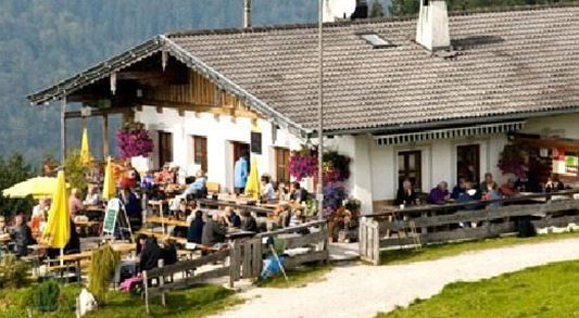
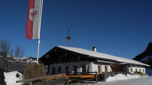
Starting point is the "Schwemmturm" at the Golf Hotel Moarhof in Walchsee. Opposite the parking lot leads a steep path over fields and through the forest to the Hitscheralm (refreshments available). Alternatively, you can walk along the golf course from the "Schwemmturm", towards Stauding and then on the right hand

Read more ...

Recommended Equipment

Breathable outdoor clothing suitable for the weather, sturdy footwear, food (snacks, drinks),
sun protection (sunglasses, sun cream & cap), rain protection, cash; guest card if using the bus

Features & Characteristics

Endurance

Skill Level

Huts & Alpine Pastures

Starting Point

Schwemmturm Walchsee

End Point

Schwemmturm Walchsee

Family-friendly

Yes

Loop tour

Yes

Map & Elevation Profile

Arrival

By car to the village center of Walchsee.

Turn into the avenue and drive to the observation tower of Schwemm.

Similar Tour Suggestions

Achendammrunde - Transformationen - Nr. 14

Easy

Hiking

Hiking tour

Starting Point: Tourist Office Kössen

End Point: Tourist Office Kössen

4,90 km

01:15 h

4 hm

590 m

Lippenalm- Ebersberg - Gwirchtalm

Medium

Hiking

Hiking tour

Starting Point: Parking lot Tennishalle Walchsee or Parking lot Lippenalm

End Point: Parking lot Tennishalle Walchsee or Parking lot Lippenalm

11,00 km

04:30 h

487 hm

1140 m

Stubenalm

Easy

Hiking

Hiking tour

Starting Point: Hohenkendel Schwendt

End Point: Stubenalm

4,00 km

03:00 h

379 hm

135 hm

1032 m

Habersauertal - Raineralm - Lippenalm - Nr. 87, 52

Medium

Hiking

Hiking tour

Starting Point: Parking lot Ostufer Walchsee

End Point: Parking lot Ostufer Walchsee

11,20 km

03:30 h

560 hm

1096 m

Premiumwanderweg Kugelwand - Harauspitze Nr.: 49,47

Medium

Hiking

Hiking tour

Thematic route

+1

Starting Point: Parking lot footballfield

End Point: Parking lot footballfield

6,50 km

04:00 h

475 hm

445 hm

1115 m

Bichlach - Nr. 16, 11

Easy

Hiking

Hiking tour

Starting Point: Sports field Kössen

End Point: Sports field Kössen

6,00 km

01:30 h

66 hm

629 m

Stripsenjochhaus - Feldalmsattel - Heuberg - Walchsee - Nr.  87, 811, 88, 89, 88

Medium

Hiking

Hiking tour

Starting Point: Stripsenjochhaus

End Point: Walchsee

16,90 km

06:00 h

829 hm

1740 hm

1601 m

Habersautal-Feldalm-Hochalm

Medium

Hiking

Hiking tour

Starting Point: Information Office Walchsee

End Point: Information Office Walchsee

22,88 km

07:00 h

1178 hm

1024 hm

1420 m