Hiking

Hard

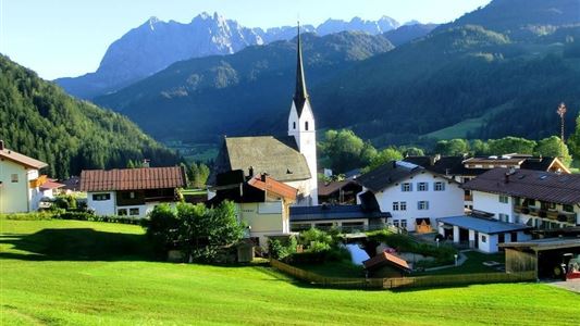
Kössen - Unterberghorn

Hiking tour

8,60 km

04:00 h

1294 hm

168 hm

1751 m

Best Time of Year

Jan

Feb

Mar

Apr

May

Jun

Jul

Aug

Sep

Oct

Nov

Dec

Information

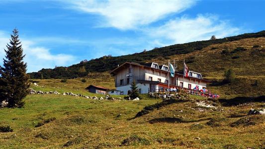
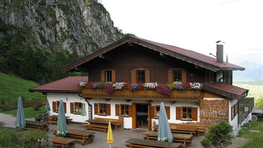
Start in Kössen at the valley station of the Bergbahnen Kössen along the eastern path. After a few minutes in the forest area, the path climbs at a barrier in long, easily accessible serpentine up to Scheibenwaldhütte (possibility for refreshments). From there you continue to the Bärenhütte (paraglider starting place)

Read more ...

Recommended Equipment

Breathable outdoor clothing suitable for the weather, sturdy footwear, food (snacks, drinks),
sun protection (sunglasses, sun cream & cap), rain protection, cash; guest card if using the bus

Features & Characteristics

Endurance

Skill Level

Starting Point

Parkplatz Unterbergbahn

End Point

Unterberg Gipfelkreuz

Map & Elevation Profile

Arrival

By car to the HochKössen cable car.

Similar Tour Suggestions

Kössen - Unterberg - Lackalm - Nr. 26, 70

Hard

Hiking

Hiking tour

Starting Point: Unterberg Valleystation

End Point: Lackalm

17,60 km

07:00 h

1325 hm

1336 hm

1749 m

Straubinger Haus / Eggenalm - Nr. 27

Hard

Hiking

Hiking tour

Starting Point: Hagerbrücke

End Point: Straubingerhaus

18,00 km

07:00 h

1230 hm

1740 m

Dorfrunde - Schwendt - Nr. 63

Easy

Hiking

Starting Point: Municipal office of Schwendt

End Point: Municipal office of Schwendt

1,80 km

00:40 h

50 hm

752 m

Village Loop - Kössen - Nr. 14

Hiking

Starting Point: Starting point roundabout in Kössen

End Point: Ending point roundabout in Kössen

3,90 km

01:00 h

594 m

Habersautal-Feldalm-Hochalm

Medium

Hiking

Hiking tour

Starting Point: Information Office Walchsee

End Point: Information Office Walchsee

22,88 km

07:00 h

1178 hm

1024 hm

1420 m

Kohlentalrunde - Schwendt - Nr. 61

Easy

Hiking

Starting Point: Town hall Schwendt

End Point: Town hall Schwendt

5,50 km

01:30 h

82 hm

Schwendt - Kohlalm

Medium

Hiking

Hiking tour

Starting Point: Parking lot Kohlalm

End Point: Kohlalm

5,40 km

02:00 h

590 hm

1255 m

Wildbichlalm - Nr. 14

Easy

Hiking

Hiking tour

Starting Point: Ritzgraben car park - Rettenschöss

End Point: Ritzgraben car park - Rettenschöss

5,00 km

02:00 h

330 hm

1040 m