Hiking

Easy

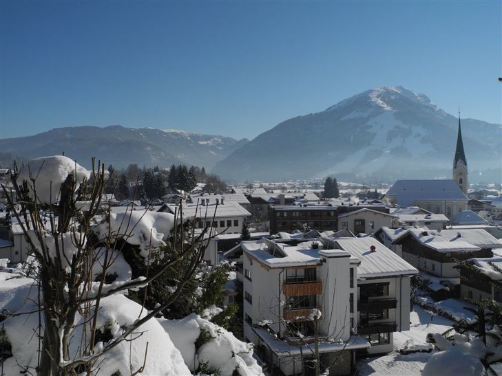
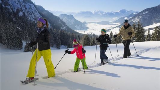
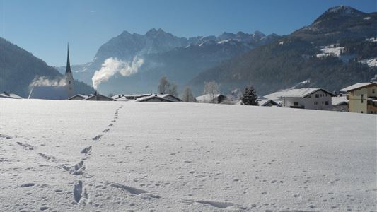
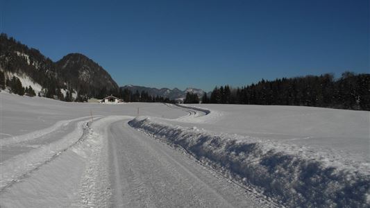
Around the Kalvarienberg in Kössen

Winter walking

Family-friendly

+1

3,00 km

01:00 h

50 hm

655 m

Information

From Kössen village centre, follow the gentle incline of the trail on the left. Once on the hill (Pension Sonnleit), bear right and walk via the Kegelboden to the Schlechterhöhe. From here, continue left to the north until the forest ends and you cross the unforested ‘Gumprecht’ area on the

Read more ...

Features & Characteristics

Starting Point

Tourist Office Kössen

End Point

Tourist Office Kössen

Family-friendly

Yes

Loop tour

Yes

Map & Elevation Profile

Similar Tour Suggestions

Walchsee to Kössen

Medium

Hiking

Winter walking

Starting Point: Tourist Office Walchsee

End Point: Tourist Office Kössen

8,10 km

02:30 h

50 hm

226 hm

Schwendt - Bichlach - Nr. 61a

Easy

Hiking

Winter walking

Hiking tour

Starting Point: Schwendt Village Center

End Point: Riedlwirt

3,50 km

01:00 h

30 hm

710 m

Edernalm

Medium

Hiking

Winter walking

Starting Point: Gasthof Staffen

End Point: Edernalm

6,50 km

02:30 h

315 hm

909 m

Haraualm

Medium

Hiking

Winter walking

Hiking tour

+1

Starting Point: Hallbruckhof

End Point: Haraualm

3,30 km

01:30 h

330 hm

1004 m

Taubensee

Medium

Hiking

Snowshoe hiking

Starting Point: Schaffler Parking lot

End Point: Taubenseehütte

4,00 km

03:30 h

350 hm

1166 m

Kaiserwinklrunde Winterwandern

Medium

Hiking

Winter walking

Starting Point: Tourist Office Kössen

End Point: Tourist Office Kössen

30,00 km

07:00 h

170 hm

701 m

Mühlberghof und Taubenseehütte

Medium

Hiking

Winter walking

Starting Point: Tourist Office Kössen

End Point: Taubenseehütte

5,30 km

04:00 h

620 hm

1172 m

Rettenschöss - Wildbichlalm

Medium

Hiking

Winter walking

Hiking tour

+1

Starting Point: Parking lot Wildbichl

End Point: Wildbichlalm

7,00 km

02:30 h

370 hm

155 hm

1018 m