Hiking

Medium

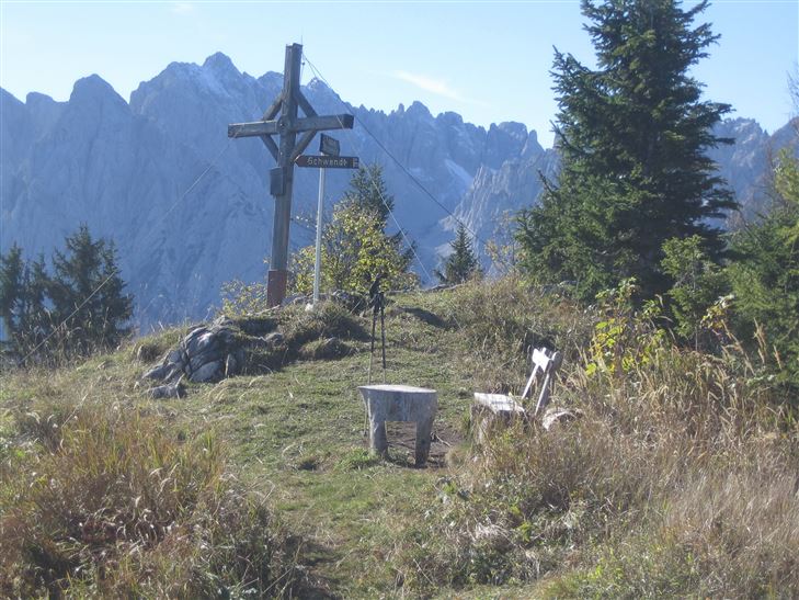
Scheibenkogel

Hiking tour

6,80 km

06:30 h

959 hm

1579 m

Best Time of Year

Partially Open

Jan

Feb

Mar

Apr

May

Jun

Jul

Aug

Sep

Oct

Nov

Dec

Information

From Raiffeisenbank Schwendt follow the road towards Griesenau, after approx. 1 km turn right over Mühlau into Kohlental and continue the asphalt road. At the right walk up to a hill, here you turn left into a mountain road and then pass through forest and across meadows to the junction

Read more ...

Recommended Equipment

Breathable outdoor clothing suitable for the weather, sturdy footwear, food (snacks, drinks),
sun protection (sunglasses, sun cream & cap), rain protection, cash; guest card if using the

Features & Characteristics

Endurance

Skill Level

Huts & Alpine Pastures

Starting Point

Tourist Office Schwendt

End Point

Mountaintop Scheibenkogel

Map & Elevation Profile

Arrival

By car to the village center of Schwendt.

Similar Tour Suggestions

Hochbergrunde - Walchsee Nr. 45, 88, 52, 88

Easy

Hiking

Hiking tour

Starting Point: Parkplatz Liftanlagen Zahmer Kaiser

End Point: Parkplatz Liftanlagen Zahmer Kaiser

5,80 km

01:45 h

123 hm

Partially Open
Kohlentalrunde - Schwendt - Nr. 61

Easy

Hiking

Starting Point: Town hall Schwendt

End Point: Town hall Schwendt

5,50 km

01:30 h

82 hm

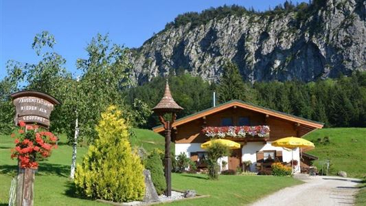
Riederalm - Nr. 47

Easy

Hiking

Winter walking

Hiking tour

Starting Point: Tourist Office Walchsee

End Point: Riederalm

3,00 km

01:00 h

181 hm

850 m

Haraualm

Medium

Hiking

Winter walking

Hiking tour

+1

Starting Point: Hallbruckhof

End Point: Haraualm

3,30 km

01:30 h

330 hm

1004 m

Breitenstein - Nr. 47, 56, 57

Medium

Hiking

Hiking tour

Starting Point: Tourist Office Walchsee

End Point: Tourist Office Walchsee

9,50 km

07:00 h

1224 hm

235 hm

1649 m

Schmugglerweg Klobenstein Nr. 15

Medium

Hiking

Hiking tour

+1

Starting Point: Tourist Office Roundabout Kössen

End Point: Klobenstein

4,10 km

03:00 h

143 hm

658 m

Naringalm

Medium

Hiking

Hiking tour

12,40 km

04:00 h

591 hm

592 hm

1178 m

Hard

Hiking

Hiking tour

Starting Point: Parking lot Staffen

End Point: Parking lot Staffen

11,25 km

05:00 h

1259 hm

1262 hm

1393 m