Hiking

Medium

Kaiserwinklrunde - Nr. 62, 65, 66, 11, 38, 35, 13

Hiking tour

30,00 km

07:00 h

170 hm

701 m

Best Time of Year

Jan

Feb

Mar

Apr

May

Jun

Jul

Aug

Sep

Oct

Nov

Dec

Information

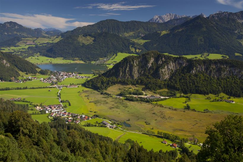
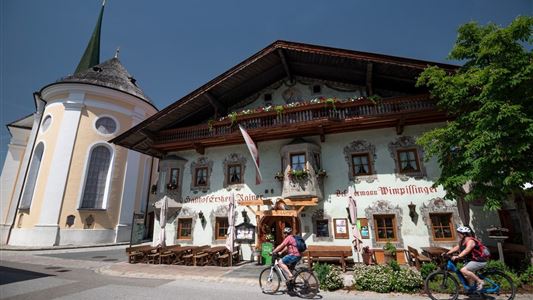
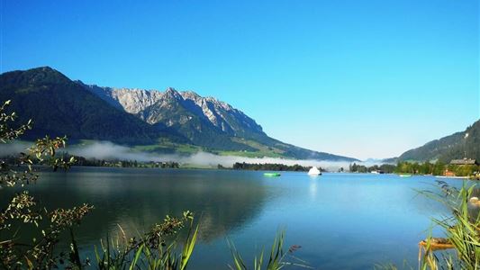
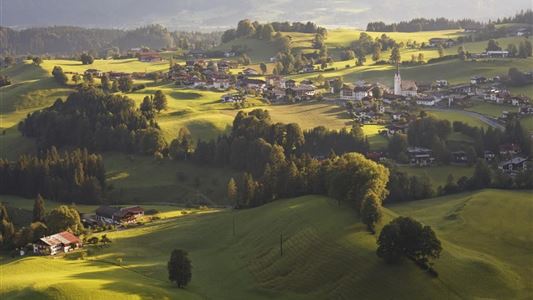
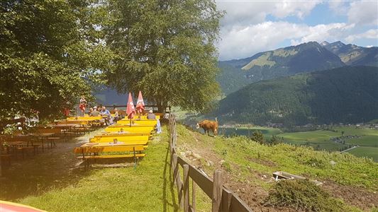
The Kaiserwinklrunde is of the length, athletic attractiveness and scenic beauty probably the most charming and interesting hiking trail in the Kaiserwinkl region. It connects the four Kaisewinkl villages. From the tourist information in Kössen on the path along the Ache to Hüttwirt. From there take way no. 65/66 to

Read more ...

Recommended Equipment

Breathable outdoor clothing suitable for the weather, sturdy footwear, food (snacks, drinks),
sun protection (sunglasses, sun cream & cap), rain protection, cash; guest card if using the bus

Features & Characteristics

Endurance

Skill Level

Huts & Alpine Pastures

Starting Point

Tourist Office Kössen

End Point

Tourist Office Kössen

Map & Elevation Profile

Arrival

By car to the village center of Kössen, to the information office.

Similar Tour Suggestions

Around  Kössen  - Nr. 12, 7, 9, 2

Easy

Hiking

Hiking tour

Starting Point: Tourist Office Kössen

End Point: Tourist Office Kössen

9,40 km

02:30 h

81 hm

82 hm

647 m

Josefstalrunde / Walchsee-Kössen - Nr. 40

Medium

Hiking

Starting Point: Parish church Walchsee

End Point: Parish church Walchsee

5,60 km

02:00 h

220 hm

Leitwang - Nr. 12, 13, 67, 65

Easy

Hiking

Hiking tour

6,70 km

02:00 h

92 hm

93 hm

670 m

Hochschanz / Kalvarienberg - Kössen - Nr. 21,2

Easy

Hiking

Starting Point: 92

End Point: Pfarrkirche Walchsee

2,40 km

02:30 h

96 hm

92 m

Moosen - Peternhof - Nr. 9

Easy

Hiking

Hiking tour

Starting Point: Village Center Kössen

End Point: Peternhof

3,10 km

01:30 h

306 hm

798 m

Berggasthof Zahmer Kaiser - Aschingeralm - Nr. 45, 49

Medium

Hiking

Hiking tour

Starting Point: Under the Church in Walchsee

End Point: Parking Lot Liftstation Zahmer Kaiser

9,30 km

02:30 h

415 hm

376 hm

1005 m

Village Loop - Kössen - Nr. 14

Hiking

Starting Point: Starting point roundabout in Kössen

End Point: Ending point roundabout in Kössen

3,90 km

01:00 h

594 m

Viergipfelrunde von Rettenschöss

Medium

Hiking

Hiking tour

Summit hike

Starting Point: Rettenschöss centre

End Point: Rettenschöss centre

15,50 km

06:00 h

820 hm

1454 m