Hiking

Easy

Hochschanz / Kalvarienberg - Kössen - Nr. 21,2

Loop tour

2,40 km

02:30 h

96 hm

92 m

Best Time of Year

Jan

Feb

Mar

Apr

May

Jun

Jul

Aug

Sep

Oct

Nov

Dec

Information

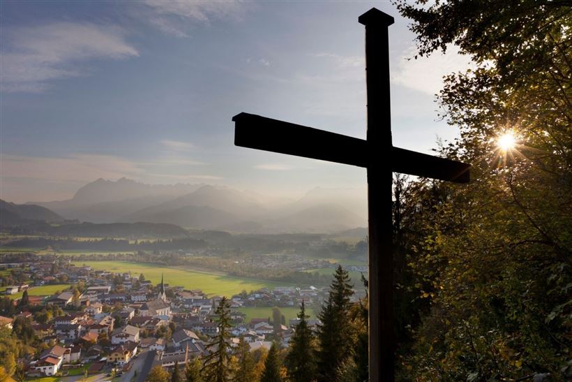
The circular hike to the Kalvarienberg starts at the parking lot east of the roundabout in the center of Kössen. The trail first leads toward the church and municipal office, then continues north along Mühlbergweg until the turnoff toward Schlechterhöhe. 
Following the Hochschanz adventure trail, and passing the wayside cross of

Read more ...

Recommended Equipment

Breathable outdoor clothing suitable for the weather, sturdy footwear, food (snacks, drinks),
sun protection (sunglasses, sun cream & cap), rain protection, cash; guest card if using the bus

Features & Characteristics

Endurance

Skill Level

Huts & Alpine Pastures

Starting Point

92

End Point

Pfarrkirche Walchsee

Loop tour

Yes

Map & Elevation Profile

Arrival

By car into the village center of Kössen

Similar Tour Suggestions

Josefstalrunde / Walchsee-Kössen

Medium

Hiking

Starting Point: Parish church Walchsee

End Point: Parish church Walchsee

5,60 km

02:00 h

220 hm

Kössen - Unterberg - Lackalm - Nr. 26, 70

Hard

Hiking

Hiking tour

Starting Point: Unterberg Valleystation

End Point: Lackalm

17,60 km

07:00 h

1325 hm

1336 hm

1749 m

Brennkopf Nr. 54

Medium

Hiking

Hiking tour

Starting Point: Schwemmturm Walchsee

End Point: Schwemmturm Walchsee

8,60 km

04:00 h

738 hm

1330 m

Rettenschöss Feistenau - in Richtung Wandberg

Easy

Hiking

Hiking tour

Starting Point: Gasthaus Schöne Aussicht in Rettenschöss

End Point: Gasthaus Schöne Aussicht in Rettenschöss

9,00 km

03:30 h

353 hm

1326 m

Kössen - Gundharting - Walchsee Nr. 13

Easy

Hiking

Hiking tour

Starting Point: Tourist Office Kössen

End Point: Tourist Office Walchsee

8,90 km

02:30 h

228 hm

159 hm

706 m

Achendammrunde - Transformationen - Nr. 14

Easy

Hiking

Hiking tour

Starting Point: Tourist Office Kössen

End Point: Tourist Office Kössen

4,90 km

01:15 h

4 hm

590 m

Stubenalm - Schnappen Nr. 72

Medium

Hiking

Hiking tour

Starting Point: Hohenkendel Schwendt

End Point: Schnappen

7,80 km

04:30 h

935 hm

135 hm

1469 m

Vier Elemente Weg

Easy

Hiking

Hiking tour

Starting Point: Tourist Office Walchsee

End Point: Tourist Office Walchsee

1,80 km

01:00 h

40 hm

701 m