Hiking

Medium

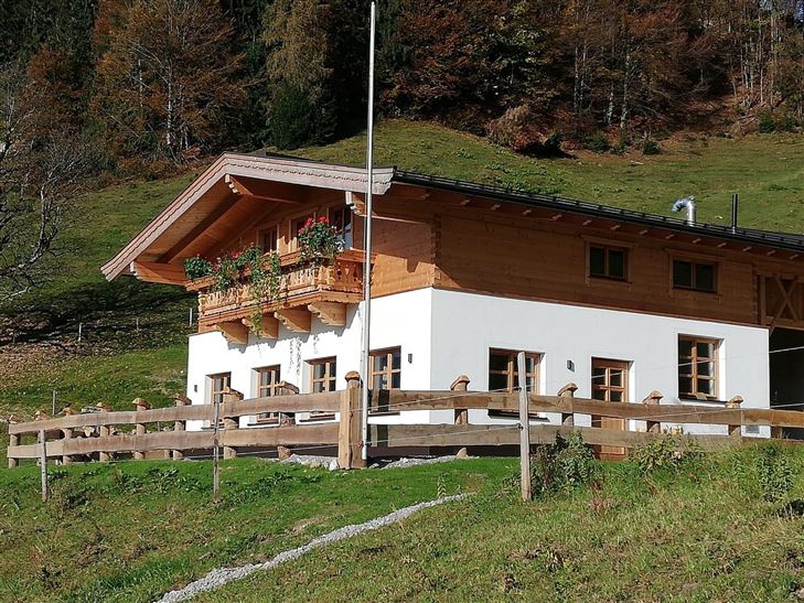
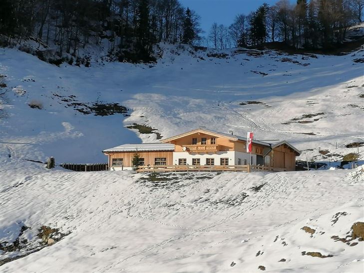
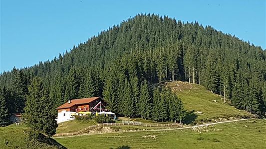
Haraualm

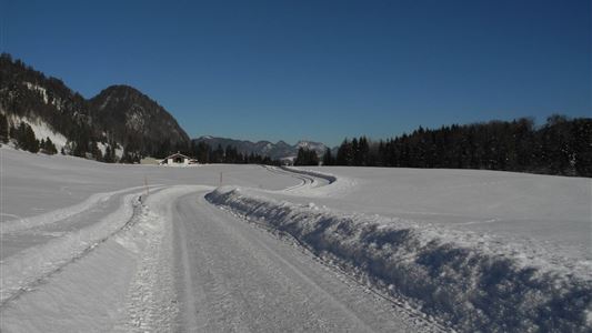
Winter walking

Hiking tour

+2

3,30 km

01:30 h

330 hm

1004 m

Best Time of Year

Jan

Feb

Mar

Apr

May

Jun

Jul

Aug

Sep

Oct

Nov

Dec

Information

Starting point of the hike: Haraualm parking lot.
From Walchsee, head towards Kössen until you reach Trachtenstube Achorner in Kranzach. Just before the Trachtenstube, turn left and follow the road to the Haraualm parking lot.
The forest road steadily ascends to the Haraualm.

Alternative route:
From Kössen, go via the Gundharting district to the

Read more ...

Recommended Equipment

Breathable outdoor clothing suitable for the weather, sturdy footwear, food (snacks, drinks),
sun protection (sunglasses, sun cream & cap), rain protection, cash; guest card if using the bus

Features & Characteristics

Endurance

Skill Level

Starting Point

Hallbruckhof

End Point

Haraualm

Family-friendly

Yes

Map & Elevation Profile

Arrival

From Kössen, take the turn into Josefstal at Kranzach.

Similar Tour Suggestions

Josefstalrunde / Walchsee-Kössen

Medium

Hiking

Starting Point: Parish church Walchsee

End Point: Parish church Walchsee

5,60 km

02:00 h

220 hm

Rettenschöss - Flecken

Easy

Hiking

Winter walking

Starting Point: Rettenschöss

End Point: Flecken

1,70 km

01:00 h

250 hm

923 m

über die Almen von Walchsee nach Kössen - Nr. 54, 47a, 3, 14, 8, 87,24

Medium

Hiking

Hiking tour

Starting Point: Walchsee

End Point: Kössen

21,60 km

08:00 h

1521 hm

1588 hm

1641 m

Hochberg Circuit

Easy

Hiking

Winter walking

Starting Point: Tourist Office Walchsee

End Point: Tourist Office Walchsee

7,60 km

02:30 h

190 hm

804 m

Kaiserwinklrunde Winterwandern

Medium

Hiking

Winter walking

Starting Point: Tourist Office Kössen

End Point: Tourist Office Kössen

30,00 km

07:00 h

170 hm

701 m

Bichlach - Nr. 16, 11

Easy

Hiking

Hiking tour

Starting Point: Sports field Kössen

End Point: Sports field Kössen

6,00 km

01:30 h

66 hm

629 m

Glasalm - Nr. 24, 19

Easy

Hiking

Hiking tour

Starting Point: Staffenbrücke Kössen

End Point: Staffenbrücke Kössen

7,50 km

02:00 h

260 hm

279 hm

806 m

Priener Hütte - Karkopf - Nr. 47, 56, 87

Medium

Hiking

Hiking tour

Starting Point: Tourist Office Walchsee

End Point: Tourist Office Walchsee

18,20 km

06:00 h

1118 hm

1093 hm

1451 m