Hiking

Easy

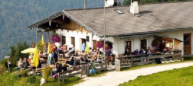
Wildbichlalm

Hiking tour

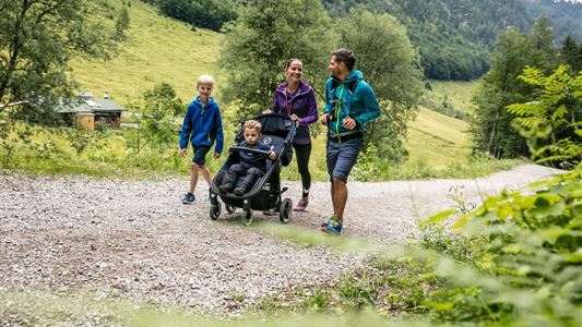
Family-friendly

+1

5,00 km

02:00 h

330 hm

1040 m

Best Time of Year

Jan

Feb

Mar

Apr

May

Jun

Jul

Aug

Sep

Oct

Nov

Dec

Information

Start: Parking Ritzgraben in Rettenschöss (fees required)
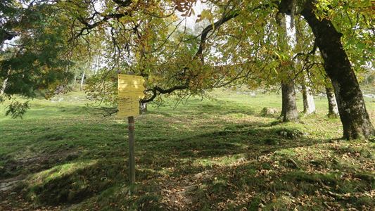
From the parking lot, turn right following the forest road until the signpost Wildbichlalm that branches off to the left.
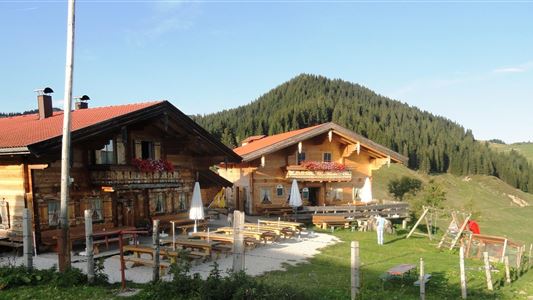
Follow the trail to the next alpine hut, here on the forest road left to Wildbichlalm (managed).
Return over the forest road to the starting point.

Recommended Equipment

appropriate clothing, proper footwear, backpack, rain protection, possibly hiking poles, mobile phone, sunscreen, snacks and drinks, possibly photo camera

Features & Characteristics

Endurance

Skill Level

Huts & Alpine Pastures

Starting Point

Parkplatz Ritzgraben - Rettenschöss

End Point

Parkplatz Ritzgraben - Rettenschöss

Family-friendly

Yes

Loop tour

Yes

Map & Elevation Profile

Arrival

By car to Rettenschöss and from there to the parking lot Ritzgraben (fees apply)

Similar Tour Suggestions

Riederalm

Easy

Hiking

Winter walking

Hiking tour

Starting Point: Dorfzentrum Walchsee

End Point: Riederalm

3,00 km

01:00 h

181 hm

850 m

Pyramidenspitze - Vorderkaiserfelden

Hard

Hiking

Hiking tour

Starting Point: Parkplatz Hochberg Durchholzen

End Point: Parkplatz Hochberg Durchholzen

17,60 km

09:00 h

1665 hm

1999 m

Inntalblick - Wandberg over Rettenschöss

Medium

Hiking

Hiking tour

Starting Point: Gasthaus Schöne Aussicht

End Point: Gasthaus Schöne Aussicht in Rettenschöss

11,00 km

05:00 h

594 hm

592 hm

Premiumwanderweg Kugelwand

Medium

Hiking

Hiking tour

Starting Point: Parkplatz Fußballplatz

End Point: Parkplatz Fußballplatz

6,50 km

04:00 h

475 hm

445 hm

1115 m

Kössen - Bichlach - Walchsee

Easy

Hiking

Hiking tour

Starting Point: Infobüro Kössen

End Point: Infobüro Walchsee

10,00 km

02:30 h

184 hm

112 hm

699 m

Ottenalm

Easy

Hiking

Hiking tour

Starting Point: Infobüro Walchsee

End Point: Ottenalm

3,50 km

01:30 h

309 hm

950 m

Seerundweg

Easy

Hiking

Winter walking

Hiking tour

Starting Point: Dorfzentrum Walchsee

End Point: Dorfzentrum Walchsee

5,50 km

01:30 h

30 hm

Straubinger Haus / Eggenalm

Hard

Hiking

Hiking tour

Starting Point: Loferberg Kössen

End Point: Straubinghaus

18,00 km

07:00 h

1230 hm

1740 m