Hiking

Easy

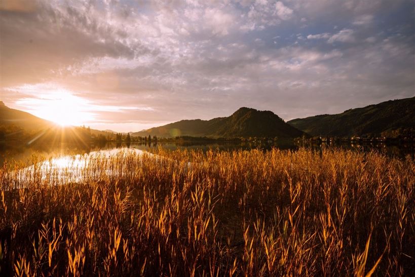
Seerundweg

Winter walking

Hiking tour

+3

5,50 km

01:30 h

30 hm

Best Time of Year

Jan

Feb

Mar

Apr

May

Jun

Jul

Aug

Sep

Oct

Nov

Dec

Information

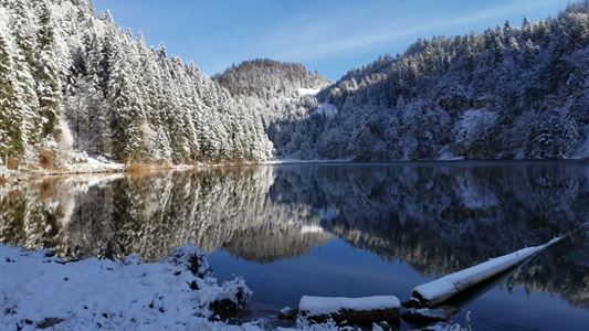
From the village centre towards the east to the Seehotel Brunner. Turn right here and after the bridge immediately right to the Seestrasse. Follow the signs to the right back to the starting point.

Recommended Equipment

appropriate clothing, proper footwear, backpack, rain protection, possibly hiking poles, mobile phone, sunscreen, snacks and drinks, possibly photo camera

Features & Characteristics

Starting Point

Dorfzentrum Walchsee

End Point

Dorfzentrum Walchsee

Family-friendly

Yes

Stroller-friendly

Yes

Loop tour

Yes

Map & Elevation Profile

Arrival

By car to the centre of Walchsee

Similar Tour Suggestions

Kaiserbachtal Valley

Easy

Hiking

Hiking tour

Starting Point: Kirchdorf i.T. hiking parking lot Kaiserbachtal

End Point: Kirchdorf i.T. hiking parking lot Kaiserbachtal

10,10 km

03:15 h

256 hm

263 hm

992 m

Lippenalm- Ebersberg - Gwirchtalm

Medium

Hiking

Hiking tour

Starting Point: Walchsee

End Point: Walchsee

11,00 km

04:30 h

487 hm

1140 m

Kössen - Bichlach - Walchsee

Easy

Hiking

Hiking tour

Starting Point: Infobüro Kössen

End Point: Infobüro Walchsee

10,00 km

02:30 h

184 hm

112 hm

699 m

Glassalm

Easy

Hiking

Hiking tour

Starting Point: Staffenbrücke Kössen

End Point: Staffenbrücke Kössen

7,50 km

02:00 h

260 hm

279 hm

806 m

Stripsenjochhaus

Medium

Hiking

Hiking tour

Starting Point: Stripsenjochhaus

End Point: Walchsee

16,90 km

06:00 h

829 hm

1740 hm

1601 m

Lochner Wasserfall - Burgeralm - Wandberg - Nr. 55B, 44, 54

Medium

Hiking

Hiking tour

Starting Point: Infobüro Walchsee

End Point: Infobüro Walchsee

13,80 km

06:00 h

974 hm

1408 m

Große Schwendterrunde

Easy

Hiking

Hiking tour

9,50 km

02:00 h

93 hm

138 hm

Vier Elemente Weg

Easy

Hiking

Hiking tour

Starting Point: Infobüro Walchsee

End Point: Infobüro Walchsee

1,80 km

01:00 h

40 hm

701 m