Biking

Medium

Pillersee

Road bike tour

[object Object]

87,80 km

03:30 h

635 hm

634 hm

960 m

Best Time of Year

Jan

Feb

Mar

Apr

May

Jun

Jul

Aug

Sep

Oct

Nov

Dec

Information

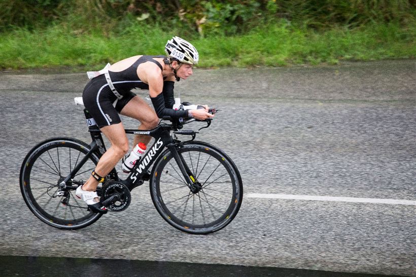
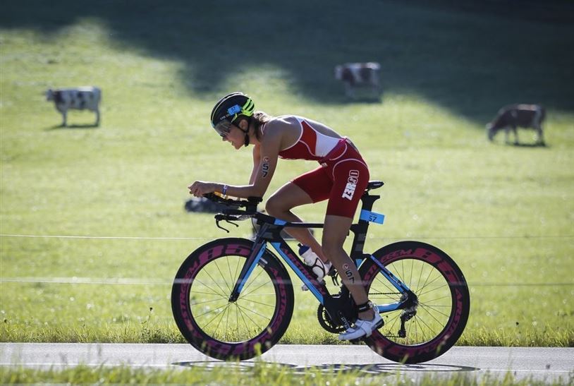
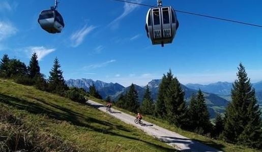
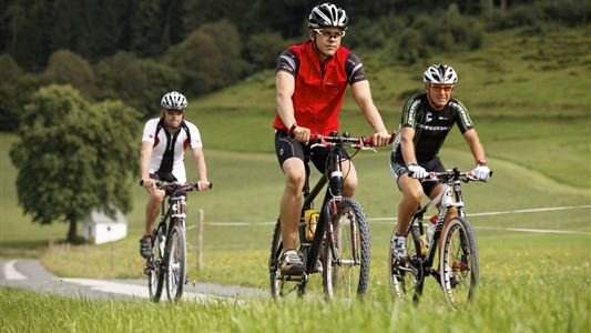
The tour starts in Walchsee via Kössen, Erpfendorf, Waidring, St. Ulrich am Pillersee, Hochfilzen, Fieberbrunn, St. Johann in Tirol via Schwendt back to the starting point.

Recommended Equipment

Appropriate clothing, sturdy shoes, backpack, rain gear, mobile phone, sun cream, snack and drinks, possibly a camera.

Map & Elevation Profile

Arrival

Starting point is in the centre of Walchsee.

Similar Tour Suggestions

Dichtleralm

Medium

Biking

Cycling tour

Mountainbike tour

Starting Point: Kössen

End Point: Dichtleralm

8,41 km

01:30 h

506 hm

64 hm

1093 m

Walchsee-Wildbichl-Chiemsee

Medium

Biking

Cycling tour

Road bike tour

Starting Point: information office Walchsee or Kössen

End Point: information office Walchsee or Kössen

100,79 km

06:00 h

646 hm

597 hm

772 m

Brennalm

Medium

Biking

Mountainbike tour

Starting Point: information office Walchsee

End Point: Brennalm

9,55 km

01:30 h

586 hm

31 hm

1254 m

Kössen via Moserberg to Reit im Winkl

Medium

Biking

Cycling tour

Mountainbike tour

Starting Point: Information office Kössen

End Point: information office Kössen

12,40 km

01:00 h

200 hm

197 hm

799 m

Walchsee - Spitzsteinhaus

Medium

Biking

Mountainbike tour

Starting Point: information office Walchsee

End Point: information office Walchsee

35,31 km

04:00 h

746 hm

739 hm

1090 m

Cheese - round

Medium

Biking

Cycling tour

Mountainbike tour

Starting Point: information office Kössen

End Point: information office Kössen

37,00 km

02:30 h

370 hm

710 m

Klausenbergrunde with Straubinger house

Hard

Biking

Cycling tour

Mountainbike tour

Starting Point: information office Kössen

End Point: information office Kössen

38,87 km

05:00 h

1171 hm

1169 hm

1572 m

Kohlalm

Medium

Biking

Mountainbike tour

Bike & Hike

Starting Point: Parking spot Kohlalm

End Point: Kohlalm

6,79 km

02:30 h

578 hm

1245 m