Biking

Medium

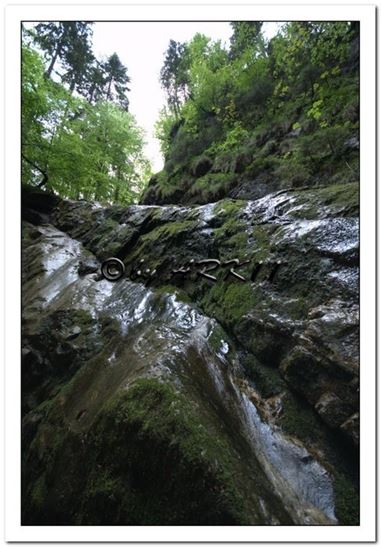
Klausenberg - Klausenberg gorge

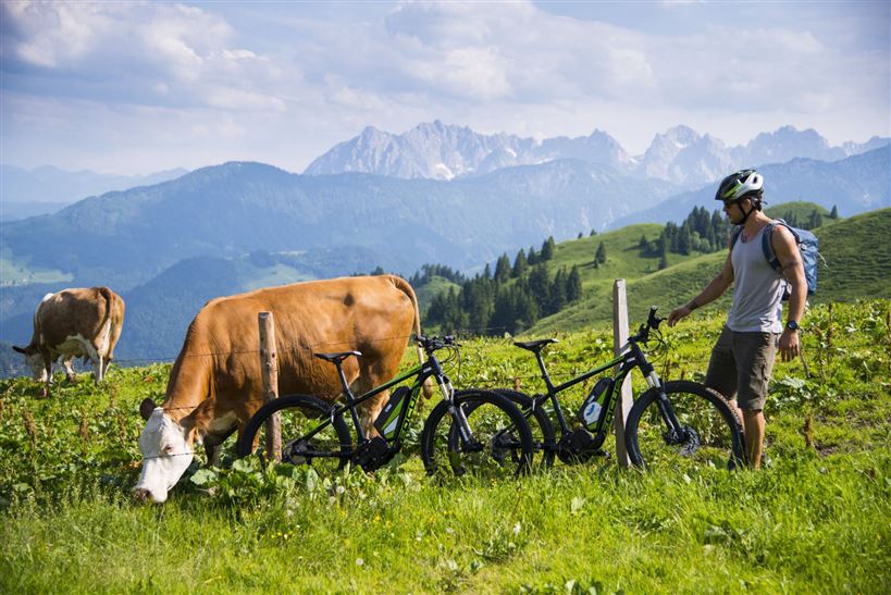
Mountainbike tour

[object Object]

19,70 km

02:30 h

697 hm

694 hm

902 m

Best Time of Year

Jan

Feb

Mar

Apr

May

Jun

Jul

Aug

Sep

Oct

Nov

Dec

Information

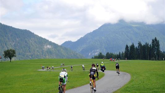
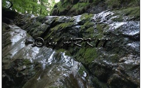
Starting point is the main road Kössen - Erpfendorf. From the district Kössen-Loferberg 150 m after the bus stop turn left into the forest road. 2.3 km to the Klausenberg, moderately ascending. Continue left, approx. 3.7 km across the state border to the Klausenbergklamm gorge and to Blindau-Reit im Winkl.

Read more ...

Recommended Equipment

Appropriate clothing, sturdy shoes, rucksack, rain protection, possibly hiking poles, cell phone, sunscreen, snack and drinks, possibly a camera.

Features & Characteristics

Starting Point

Erpfendorf junction

End Point

Kössen

Duration E-Bike

Map & Elevation Profile

Arrival

By car to the centre of Kössen.

Similar Tour Suggestions

Kaiserweis cheese round

Medium

Biking

Cycling tour

Mountainbike tour

Starting Point: information office Kössen

End Point: information office Kössen

46,90 km

02:30 h

487 hm

491 hm

716 m

Haraualm

Medium

Biking

Mountainbike tour

Starting Point: information office Kössen

End Point: Haraualm

9,26 km

01:30 h

412 hm

12 hm

987 m

Around the Unterberg

Medium

Biking

Cycling tour

Starting Point: Information office Kössen

End Point: information office Kössen

36,13 km

02:30 h

296 hm

262 hm

758 m

Partially Open
Kohlental cycle path

Easy

Biking

Cycling tour

Starting Point: information office Kössen

End Point: information office Kirchdorf

21,31 km

01:30 h

245 hm

185 hm

758 m

Miesberg - Seerunde

Easy

Biking

Cycling tour

Starting Point: Information officeWalchsee

End Point: information office Walchsee

13,24 km

01:30 h

130 hm

102 hm

707 m

Mozart Cycle Route stages 12, 13

Medium

Biking

Cycling tour

Starting Point: Niederndorf

End Point: Kössen

37,51 km

02:30 h

423 hm

318 hm

759 m

Rettenschöss - Karspitze - Feistenau

Medium

Biking

Mountainbike tour

Starting Point: Rettenschöss

End Point: Rettenschöss

13,06 km

02:30 h

712 hm

670 hm

1253 m

Habersau - Gwirchtalm

Medium

Biking

Mountainbike tour

Starting Point: information office Walchsee

End Point: Walchsee

13,59 km

01:30 h

377 hm

381 hm

1027 m