Biking

Easy

Leukentalradweg

Cycling tour

[object Object]

13,65 km

01:30 h

120 hm

79 hm

641 m

Best Time of Year

Partially Open

Jan

Feb

Mar

Apr

May

Jun

Jul

Aug

Sep

Oct

Nov

Dec

Information

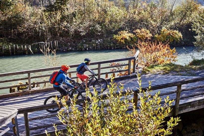
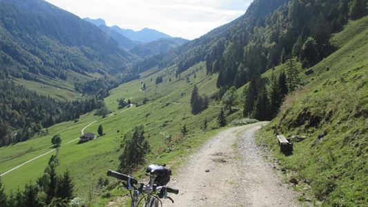
The starting point is the information office in Kössen, from where the trail leads to the Unterberghornbahn valley station. The route continues on a dirt track in an easterly direction, which winds its way through the forest area at the foothills of the Unterberg to the "Hagerbrücke" bridge. From here,

Read more ...

Recommended Equipment

Appropriate clothing, sturdy shoes, backpack, rain gear, mobile phone, sun cream, snack and drinks, possibly a camera.

Features & Characteristics

Starting Point

information office Kössen

End Point

Erpfendorf

Duration E-Bike

Map & Elevation Profile

Arrival

By car to the centre of Kössen.

Similar Tour Suggestions

Unterberghorn

Hard

Biking

Mountainbike tour

Starting Point: Information office Kössen

End Point: Unterberg

11,64 km

02:30 h

884 hm

1471 m

Sudelfeld tour

Medium

Biking

Mountainbike tour

Road bike tour

Starting Point: information office Walchsee

End Point: information office Walchsee

77,72 km

04:30 h

1165 hm

1158 hm

1127 m

Kufstein - Fortress tour

Medium

Biking

Cycling tour

Starting Point: information office Walchsee

End Point: information office Walchsee

40,75 km

05:00 h

265 hm

267 hm

692 m

Kufstein - Kössen BIKE TRAIL TIROL - Etappe 10

Medium

Biking

Cycling tour

Mountainbike tour

Starting Point: Kufstein - Eichelwang

End Point: Kössen

34,07 km

03:30 h

641 hm

539 hm

1030 m

Partially Open
Klausenbergrunde with Straubinger house

Hard

Biking

Cycling tour

Mountainbike tour

Starting Point: information office Kössen

End Point: information office Kössen

38,87 km

05:00 h

1171 hm

1169 hm

1572 m

Feldalm

Medium

Biking

Mountainbike tour

Starting Point: Information office Walchsee

End Point: Feldalm

11,98 km

03:30 h

672 hm

1337 m

Rettenschöss - Karspitze - Feistenau

Medium

Biking

Mountainbike tour

Starting Point: Rettenschöss

End Point: Rettenschöss

13,06 km

02:30 h

712 hm

670 hm

1253 m

Haraualm

Medium

Biking

Mountainbike tour

Starting Point: information office Kössen

End Point: Haraualm

9,26 km

01:30 h

412 hm

12 hm

987 m