Biking

Medium

Habersau - Gwirchtalm

Mountainbike tour

Loop tour

+1

13,59 km

01:30 h

377 hm

381 hm

1027 m

Best Time of Year

Jan

Feb

Mar

Apr

May

Jun

Jul

Aug

Sep

Oct

Nov

Dec

Information

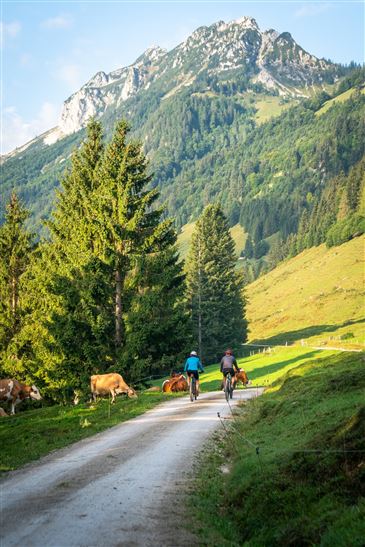
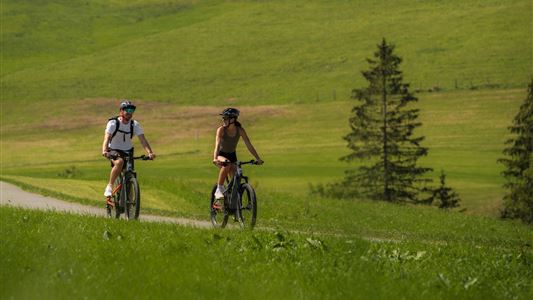
Medium-difficulty route through idyllic forest and alpine pasture area along the Weißenbach stream through the Habersau valley to the Habersaualpe pasture via the Gwirchtalm pasture to the south side of the Walchsee lake. From the Habersaualm, a moderately difficult mountain bike trail branches off to the Feldalm.

Recommended Equipment

Appropriate clothing, sturdy shoes, backpack, rain gear, mobile phone, sun cream, snack and drinks, possibly a camera.

Map & Elevation Profile

Arrival

By car to the centre of Walchsee.

Similar Tour Suggestions

Kaiserweis pleasure bike tour Kufstein- Kössen

Medium

Biking

Cycling tour

Starting Point: Kufstein

End Point: information office Kössen

71,80 km

05:00 h

558 hm

560 hm

700 m

Cheese - round

Medium

Biking

Cycling tour

Mountainbike tour

Starting Point: information office Kössen

End Point: information office Kössen

37,00 km

02:30 h

370 hm

710 m

Unterberghorn

Hard

Biking

Mountainbike tour

Starting Point: Information office Kössen

End Point: Unterberg

11,64 km

02:30 h

884 hm

1471 m

Leukentalradweg

Easy

Biking

Cycling tour

Starting Point: information office Kössen

End Point: Erpfendorf

13,65 km

01:30 h

120 hm

79 hm

641 m

Walchsee - Spitzsteinhaus

Medium

Biking

Mountainbike tour

Starting Point: information office Walchsee

End Point: information office Walchsee

35,31 km

04:00 h

746 hm

739 hm

1090 m

Sudelfeld tour

Medium

Biking

Mountainbike tour

Road bike tour

Starting Point: information office Walchsee

End Point: information office Walchsee

77,72 km

04:30 h

1165 hm

1158 hm

1127 m

Mozart Cycle Route stages 12, 13

Medium

Biking

Cycling tour

Starting Point: Niederndorf

End Point: Kössen

37,51 km

02:30 h

423 hm

318 hm

759 m

Dichtleralm

Medium

Biking

Cycling tour

Mountainbike tour

Starting Point: Kössen

End Point: Dichtleralm

8,41 km

01:30 h

506 hm

64 hm

1093 m